Trig M
Korowai/Torlesse Tussocklands Park
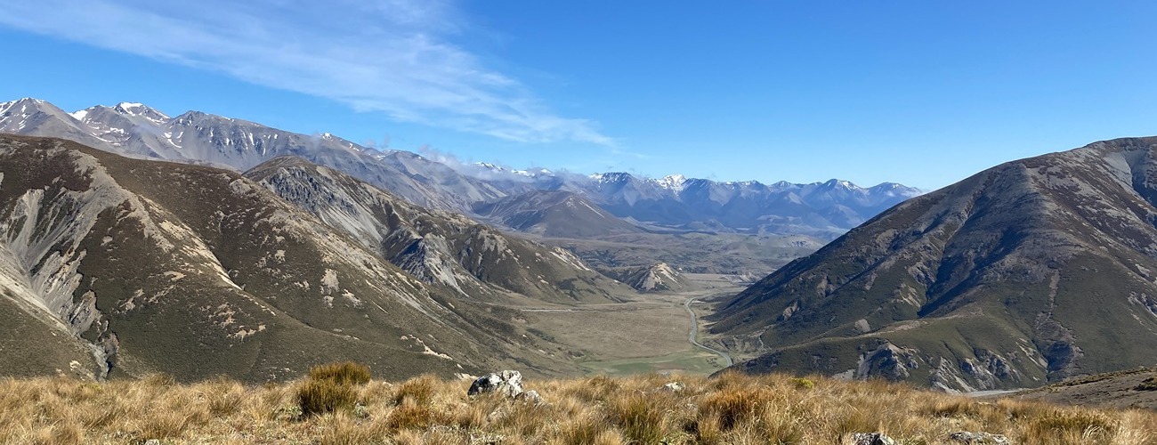
Trig M (1251 m) is a popular summit near Porters Pass that can be reached via two routes from SH73: Coach Stream Route at the foot of Porters Pass and Trig M Route, which begins west of the Porters Pass summit.
| Details | |
| Length | 11.2 km return via Coach Stream Route; 6.4 km return via Trig M Route |
| Time Required | 3-4 hr return via Coach Stream Route; 2 hr return via Trig M Route |
| Trail Type | Tramping track |
| Physical Difficulty | Moderate |
| Uses | Walking and trail running |
| Start Elevation | 670 m (Coach Stream Route) or 860 m (Trig M Route) |
| Max Elevation | 1251 m |
Neither Coach Stream Route nor Trig M Route connect to any other official tracks, though experienced parties can navigate to the summit of Ben More (1655 m) via Rabbit Hill.
1 hr from Christchurch
The Coach Stream Route begins at the bottom of Porters Pass on SH73. Look for the parking area and signpost at the hairpin turn.
Trig M Route begins at the Starvation Gully car park, on the left-hand side of the highway halfway between Porters Pass summit and Lake Lyndon.
You cannot walk along the highway between the respective route ends, so arranging a vehicle at each end is advisable.
Coach Stream Route
Coach Stream Route begins by crossing a stile and passing through private land that is part of Ben More Station. Passing through grazed pasture, the route follows a farm track up the gully before climbing the valley side, steeply in places, to gain the ridge. Now in tussock and subalpine scrub, the route enters Korowai/Torlesse Tussocklands Park and becomes marked by poles. It passes Pt 1079 before descending into a shallow saddle, where it skirts mountain beech forest on the edge of Kowai Forest. Upon reaching the ridgeline above Lake Lyndon, the reaches a junction with Trig M Route; turn left here, continue over a knob in the ridge and on to the summit of Trig M.
Trig M is named after a historic trigonometrical survey station that once formed part of New Zealand’s mapping and land-survey network. Such stations were typically established on prominent high points with extensive views of the surrounding landscape.
Return the way you came.
Note that DOC advises the route is closed annually from 1 October to 20 November during lambing season.
Trig M Route
From the highway, Trig M Route follows a farm track up the valley side through tussock and subalpine scrub. The track gains the crest of the ridge, and follows it as a poled route along the undulating ridge. You will reach the junction with the Coach Stream Route on the left. Continue over the next rise to reach the summit of Trig M.
Return the way you came.


Neither Coach Stream Route nor Trig M Route connect to any other official tracks, though experienced parties can navigate to the summit of Ben More (1655 m) via Rabbit Hill.