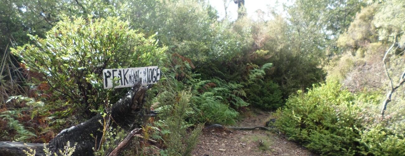
Peaking Ridge descends off the eastern side of Sunrise Ridge in the upper Maitai Valley and is regarded as one of Nelson’s iconic downhill rides. It is commonly combined with Fringed Hill, Black Diamond Ridge and Sunrise Ridge to create a 3-4 hour long technical loop that can be completed from central Nelson.
| Details | |
| Length | 2.2 km |
| Trail Type | Singletrack |
| Physical Difficulty | Moderate |
| Technical Difficulty | Expert |
| Uses | MTB |
| Direction | Downhill |
| Start Elevation | 650 m |
| Finish Elevation | 160 m |
| Dog Access | Dogs are prohibited in Maitai Water Reserve |
If any layers fail to load, try clearing your cache and refreshing the page.
1 hr 30 min from central Nelson (by MTB)
Peaking Ridge can only be ridden in the downhill direction. This will require you to access Sunrise Ridge, off of which Peaking Ridge descends, 2.4 km from the intersection with Black Diamond Ridge (about two thirds of the way along the ridge). The most straight-forward way to access Peaking Ridge is via Fringed Hill, Black Diamond Ridge and Sunrise Ridge. The alternative way to access Sunrise Ridge is via Dun Mountain Trail, where you can connect with Black Diamond Ridge at Junction Saddle.
The track begins steeply down the ridge, dropping down a chute with lots of loose rock and beech tree roots. The gradient eases but the roots and rocks don’t, with both featuring prominently the whole way down. A few hundred metres in there is a wooden ramp with a drop to be aware of. After this there are a few small drops and tree trunks to negotiate, and for the most part the track continues straight down the ridge with few turns towards the bottom. The majority of the track passes through open beech forest with very little undergrowth. The effects of the wind storm of 2008 are still evident, with large patches of the beech forest yet to fully recover from the tree fall. As the track descends to lower elevation manuka becomes more prevalent.
Peaking Ridge Track joins Dun Mountain Trail next to the water intake weir on the Maitai River South Branch. From here it is an easy 2.4 km back to Maitai Valley Road end or 13 km into central Nelson via Dun Mountain Trail (along the pipeline) and Maitai Valley Walkway.
Peaking Ridge descends off the eastern side of Sunrise Ridge in the upper Maitai Valley and is regarded as one of Nelson’s iconic downhill rides. It is commonly combined with Fringed Hill, Black Diamond Ridge and Sunrise Ridge to create a 3-4 hour long technical loop that can be completed from central Nelson.
| Details | |
| Length | 2.2 km |
| Trail Type | Singletrack |
| Physical Difficulty | Moderate |
| Technical Difficulty | Expert |
| Uses | MTB |
| Direction | Downhill |
| Start Elevation | 650 m |
| Finish Elevation | 160 m |
| Dog Access | Dogs are prohibited in Maitai Water Reserve |
1 hr 30 min from central Nelson (by MTB)
Peaking Ridge can only be ridden in the downhill direction. This will require you to access Sunrise Ridge, off of which Peaking Ridge descends, 2.4 km from the intersection with Black Diamond Ridge (about two thirds of the way along the ridge). The most straight-forward way to access Peaking Ridge is via Fringed Hill, Black Diamond Ridge and Sunrise Ridge. The alternative way to access Sunrise Ridge is via Dun Mountain Trail, where you can connect with Black Diamond Ridge at Junction Saddle.
The track begins steeply down the ridge, dropping down a chute with lots of loose rock and beech tree roots. The gradient eases but the roots and rocks don’t, with both featuring prominently the whole way down. A few hundred metres in there is a wooden ramp with a drop to be aware of. After this there are a few small drops and tree trunks to negotiate, and for the most part the track continues straight down the ridge with few turns towards the bottom. The majority of the track passes through open beech forest with very little undergrowth. The effects of the wind storm of 2008 are still evident, with large patches of the beech forest yet to fully recover from the tree fall. As the track descends to lower elevation manuka becomes more prevalent.
Peaking Ridge Track joins Dun Mountain Trail next to the water intake weir on the Maitai River South Branch. From here it is an easy 2.4 km back to Maitai Valley Road end or 13 km into central Nelson via Dun Mountain Trail (along the pipeline) and Maitai Valley Walkway.
Updated 25 March 2019