Asbestos Cottage is an historic hut in the Upper Takaka Valley, in Kahurangi National Park. The hut was originally built in 1897 for the purpose of prospecting the nearby asbestos deposits, but is best known for being occupied for nearly four decades from 1914 by Henry and Annie Chaffey. The hut can be visited as an easy overnight tramp from Cobb Dam Road or combined with one or more of the many other tracks in the area to create circuits of varying length.
| Details | |
| Length | 5.3 km Cobb Dam Road to Asbestos Cottage; 2.9 km Asbestos Cottage to Lower Junction; 2.1 km Asbestos Cottage to Cobb Ridge Track (via unmaintained route) |
| Time Required | 1 hr 45 min Cobb Dam Road to Asbestos Cottage; 1 hr Asbestos Cottage to Lower Junction; 1 hr Asbestos Cottage to Cobb Ridge Track (via unmaintained route) |
| Trail Type | Tramping track |
| Physical Difficulty | Moderate |
| Uses | Walking and trail running |
| Direction | Either |
| Start Elevation | 445 m (Cobb Dam Road) |
| Finish Elevation | 880 m (Asbestos Cottage) |
If any layers fail to load, try clearing your cache and refreshing the page.
2 hr from Nelson | 1 hr from Takaka
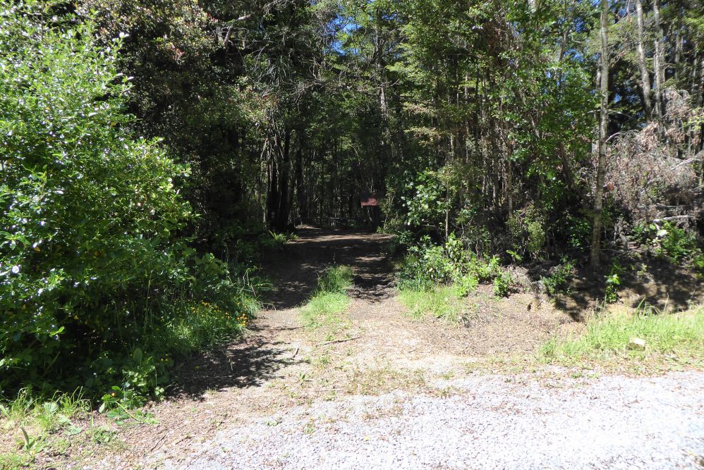
The shortest route to Asbestos Cottage is via Cobb Dam Road. From Richmond, head west along State Highway 60. After you’ve driven over Takaka Hill, turn left at Upper Takaka onto Cobb Dam Road, and follow it up Cobb Valley. The road is very narrow and has steep drop-offs to Takaka River below, so you must drive with caution. The road is unsealed from the powerhouse. The track starts at a hairpin bend in the road known as ‘Asbestos Corner’, approx. 2.5 km past the powerhouse. There is a small parking area and a wooden structure holding an intentions book.
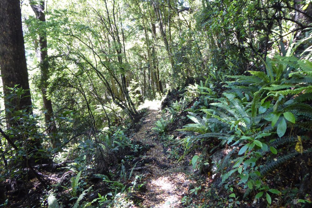
From Cobb Dam Road, Asbestos Track follows the old mine access road, which is wide and reasonably smooth, allowing easy travel. The road sidles the valley side high above the true left of the Takaka River, gently gaining elevation along the way. You’ll reach a permanent detour where the track has been redirected above a large slip that has washed the road into the river below.
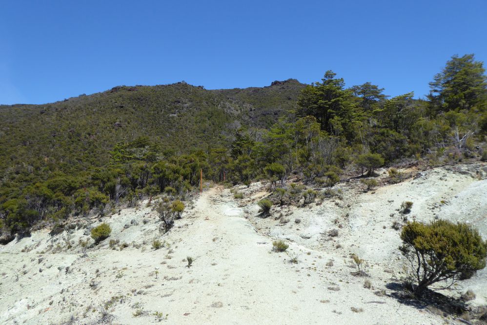
Gabbro Creek marks the beginning of the ultramafic rock area, where the surrounding vegetation transitions to low native scrub. A short while later you’ll reach a collection of rusty mining relics surrounding a DOC sign, followed shortly by the asbestos mine site (which ceased operations in 1963). The main digging area is on the river side of the track, where a large chunk of the hillside has been excavated. The steep drop-off into the mining area is unfenced, so take care near the edge. From here the track continues as a tramping track through the worked-over landscape and then around the gully of Asbestos Creek, clambering upwards through coarse rocks.
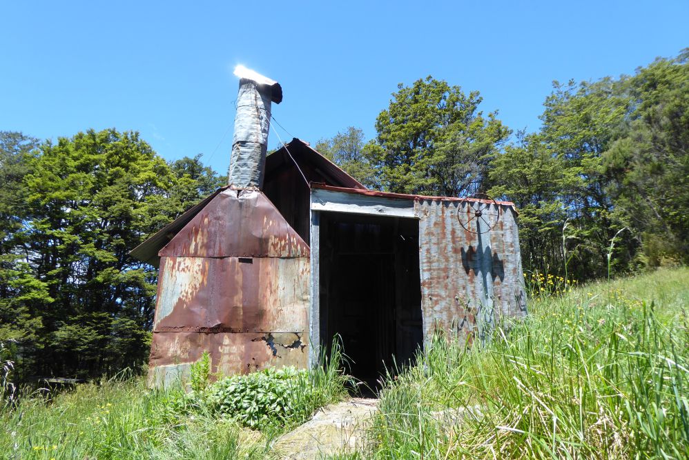
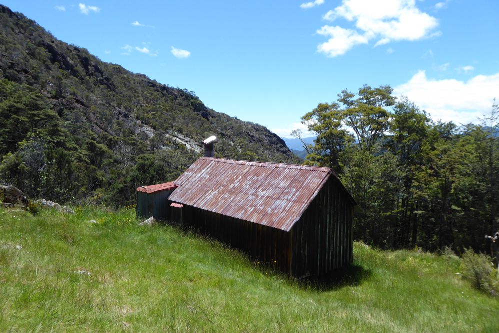
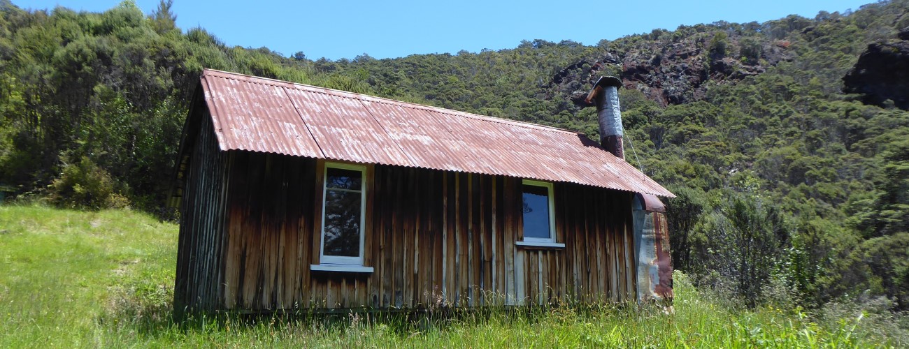
Asbestos Cottage stands in a grassy clearing on the hillside, looking northeast down Upper Takaka Valley. It has been largely preserved from its original state; it’s interior is quite dark due to the low ceiling and small windows, and the heating source is an open fireplace. Bunks are located in the small room at the back.
| Asbestos Cottage | |
| Hut Type | Basic Hut |
| Capacity | 4 |
| Bookings | Not required; first in, first served |
| Fee | No fee |
| Altitude | 840 m |
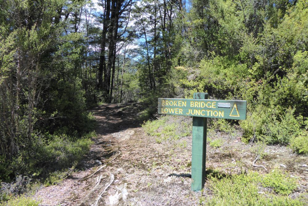
From Asbestos Cottage you have two options for continuing. The first of these is Asbestos Track, which continues up the Takaka River Valley to Lower Junction (1 hr away). Here you’ll connect with Bullock Track and a swingbridge across Takaka River, where Upper Takaka Track branches to the left soon after. From here it’s 2.3 km to Upper Junction, where you’ll connect with Flora Track.
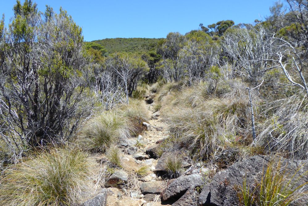
The second option from Asbestos Cottage is the unmaintained route that climbs the hillside directly behind the hut to connect with Cobb Ridge Track. Though unmaintained, the track stays in reasonably good condition and is easy to follow, with orange-painted tins marking the way. The track climbs the scrubby hillside above the hut, then gains a spur and continues through beech forest to connect with Cobb Ridge Track. From this junction, it’s 2.6 km to Cobb Dam Road, and 2.4 km to the junction with Bullock Track in Peat Valley.
Asbestos Cottage is an historic hut in the Upper Takaka Valley, in Kahurangi National Park. The hut was originally built in 1897 for the purpose of prospecting the nearby asbestos deposits, but is best known for being occupied for nearly four decades from 1914 by Henry and Annie Chaffey. The hut can be visited as an easy overnight tramp from Cobb Dam Road or combined with one or more of the many other tracks in the area to create circuits of varying length.
| Details | |
| Length | 5.3 km Cobb Dam Road to Asbestos Cottage; 2.9 km Asbestos Cottage to Lower Junction; 2.1 km Asbestos Cottage to Cobb Ridge Track (via unmaintained route) |
| Time Required | 1 hr 45 min Cobb Dam Road to Asbestos Cottage; 1 hr Asbestos Cottage to Lower Junction; 1 hr Asbestos Cottage to Cobb Ridge Track (via unmaintained route) |
| Trail Type | Tramping track |
| Physical Difficulty | Moderate |
| Uses | Walking and trail running |
| Direction | Either |
| Start Elevation | 445 m (Cobb Dam Road) |
| Finish Elevation | 880 m (Asbestos Cottage) |
2 hr from Nelson | 1 hr from Takaka
The shortest route to Asbestos Cottage is via Cobb Dam Road. From Richmond, head west along State Highway 60. After you’ve driven over Takaka Hill, turn left at Upper Takaka onto Cobb Dam Road, and follow it up Cobb Valley. The road is very narrow and has steep drop-offs to Takaka River below, so you must drive with caution. The road is unsealed from the powerhouse. The track starts at a hairpin bend in the road known as ‘Asbestos Corner’, approx. 2.5 km past the powerhouse. There is a small parking area and a wooden structure holding an intentions book.
From Cobb Dam Road, Asbestos Track follows the old mine access road, which is wide and reasonably smooth, allowing easy travel. The road sidles the valley side high above the true left of the Takaka River, gently gaining elevation along the way. You’ll reach a permanent detour where the track has been redirected above a large slip that has washed the road into the river below.
Gabbro Creek marks the beginning of the ultramafic rock area, where the surrounding vegetation transitions to low native scrub. A short while later you’ll reach a collection of rusty mining relics surrounding a DOC sign, followed shortly by the asbestos mine site (which ceased operations in 1963). The main digging area is on the river side of the track, where a large chunk of the hillside has been excavated. The steep drop-off into the mining area is unfenced, so take care near the edge. From here the track continues as a tramping track through the worked-over landscape and then around the gully of Asbestos Creek, clambering upwards through coarse rocks.
Asbestos Cottage stands in a grassy clearing on the hillside, looking northeast down Upper Takaka Valley. It has been largely preserved from its original state; it’s interior is quite dark due to the low ceiling and small windows, and the heating source is an open fireplace. Bunks are located in the small room at the back.
| Asbestos Cottage | |
| Hut Type | Basic Hut |
| Capacity | 4 |
| Bookings | Not required; first in, first served |
| Fee | No fee |
| Altitude | 840 m |
From Asbestos Cottage you have two options for continuing. The first of these is Asbestos Track, which continues up the Takaka River Valley to Lower Junction (1 hr away). Here you’ll connect with Bullock Track and a swingbridge across Takaka River, where Upper Takaka Track branches to the left soon after. From here it’s 2.3 km to Upper Junction, where you’ll connect with Flora Track.
The second option from Asbestos Cottage is the unmaintained route that climbs the hillside directly behind the hut to connect with Cobb Ridge Track. Though unmaintained, the track stays in reasonably good condition and is easy to follow, with orange-painted tins marking the way. The track climbs the scrubby hillside above the hut, then gains a spur and continues through beech forest to connect with Cobb Ridge Track. From this junction, it’s 2.6 km to Cobb Dam Road, and 2.4 km to the junction with Bullock Track in Peat Valley.
Updated 23 December 2020
