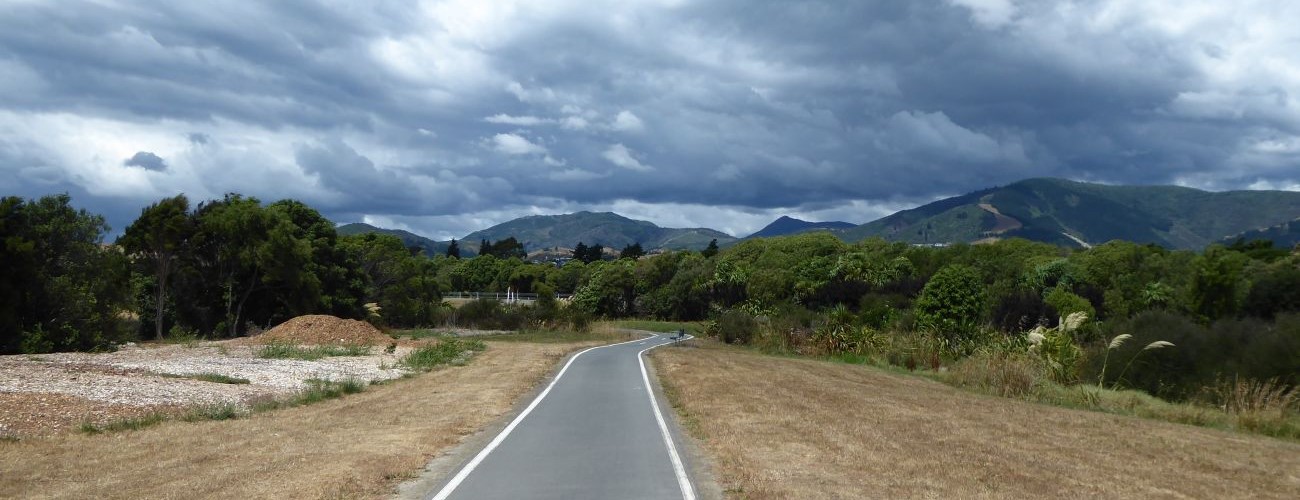
Whakatu Coastal Pathway
Whakatu Coastal Pathway provides a continuous off-road urban link between Stoke and Richmond, and is popular for walking, running and cycling. The pathway begins in Annesbrook and closely follows Whakatu Drive along the edge of Waimea Inlet for most of its length. It forms part of Tasman’s Great Taste Trail.
| Details | |
| Length | 6.2 km Annesbrook to Reservoir Creek |
| Trail Type | Shared pathway |
| Physical Difficulty | Easy |
| Technical Difficulty | Easy |
| Uses | Walking, running and cycling |
| Direction | Either |
Great Taste Trail
Walking, running, cycling and MTB
Monaco Peninsula Loop
Walking, running and cycling
Nelson Airport Perimeter Walkway
Walking and running
Orphanage Stream Pathway
Walking and running
Poorman Stream Walkway
Walking and running
Railway Reserve Pathway
Walking, running and cycling
Reservoir Creek Walkway
Walking and running
10 min from central Nelson (northern end)
The northern end of Whakatu Coastal Pathway begins at Annesbrook Roundabout, adjacent to the World of Wearable Art Museum.
Heading south from Quarantine Rd, the pathway follows Whakatu Dr to a T junction with the Airport-Monaco pathway, which connects to Nelson Airport Perimeter Walkway. Turn left here and continue through to Point Rd, where the pathway follows the edge of a cove to The Honest Lawyer pub.
South of The Honest Lawyer the pathway weaves between open grass and native tree plantings in the coastal reserve land between Whakatu Dr and Waimea Inlet, then directly alongside the highway. An underpass at Orphanage Stream provides connection to the Railway Reserve Pathway.
The southern end of the pathway begins at the start of the Richmond to Mapua leg of the Great Taste Trail, the latter heading west alongside Waimea Inlet. Here there’s also an underpass through to Champion Rd. You can continue south alongside the highway to the Queen St intersection, where the Richmond to Wakefield leg of the Great Taste Trail begins.
The primary purpose of Whakatu Coastal Pathway is to provide a safe urban link for people travelling between Richmond and Stoke or Nelson, and it serves as an important route for cycling commuters and students. It combines very well with the other urban pathways and tracks that connect to it, allowing for numerous routes and circuits to be made.
Great Taste Trail
Walking, running, cycling and MTB
Monaco Peninsula Loop
Walking, running and cycling
Nelson Airport Perimeter Walkway
Walking and running
Orphanage Stream Pathway
Walking and running
Poorman Stream Walkway
Walking and running
Railway Reserve Pathway
Walking, running and cycling
Reservoir Creek Walkway
Walking and running