Lake Clearwater Track
Hakatere Conservation Area
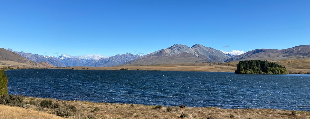
Lake Clearwater is located in the Ashburton Lakes area of the Canterbury high country. A shared track circumnavigates the lake and connects to other tracks in the area, including Te Araroa Trail.
| Details | |
| Length | 10.8 km |
| Time Required | 2-3 hr |
| Trail Type | Shared track |
| Physical Difficulty | Easy |
| Uses | Walking, trail running and MTB |
| Direction | Either |
Mt Guy Track
Walking and trail running
Mystery Lake Track
Walking and trail running
Te Araroa Trail
Walking and trail running
1 hr 45 min from Christchurch
Lake Clearwater Track begins at Lake Clearwater Village, a tiny settlement comprised mainly of holiday baches. The track starts at the lake edge, where there is a parking area and toilet.
From Mt Somers, head inland on Ashburton Gorge Rd, which becomes Hakatere Potts Rd. The road is unsealed beyond the Lake Heron turnoff.
The track can be completed in either direction. Heading anticlockwise around the lake from the car park, the track follows a 4WD farm track around the lake edge, soon reaching the eastern end. Here there’s a side track that climbs to the summit of Mt Guy (1319 m), which can be completed as an additional side trip (allow an extra 1.5 hr). The track turns west and heads along the northern side of the lake through pasture and tussock. The open landscape provides expansive views west toward the peaks of the Main Divide. Along here you will reach the first of two tracks connecting Lake Clearwater to Te Araroa Trail.
At the western end of the lake, you’ll reach the second link track to the Te Araroa Trail. A boardwalk section crosses a swampy area, then the track heads back east, eventually returning to Lake Clearwater Village where you started.
Be aware that as there are no trees around the lake, the track is very exposed. Check the weather forecast and prepare accordingly.


Mt Guy Track
Walking and trail running
Mystery Lake Track
Walking and trail running
Te Araroa Trail
Walking and trail running