Red Tarns Track
Mount Cook National Park
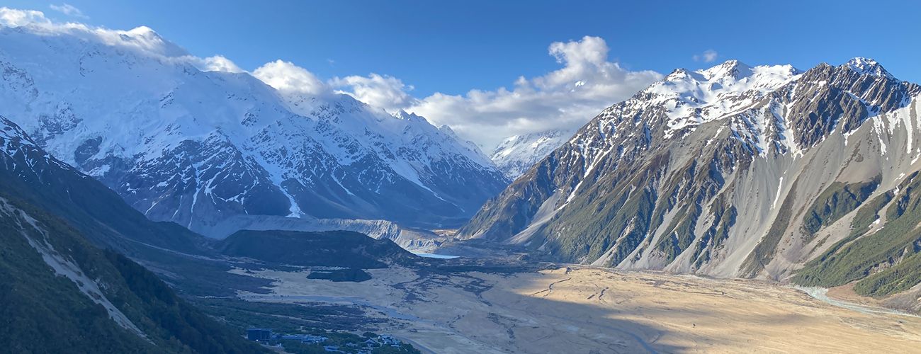
Red Tarns Track is a short but steep walk climbing from Mount Cook Village to the Red Tarns, a group of small alpine tarns perched above the valley. The track gains approximately 300 metres in elevation and rewards walkers with outstanding views of Mount Cook Village, Mt Sefton, and Aoraki / Mount Cook.
| Details | |
| Length | 3.6 km return |
| Time Required | 2 hr return |
| Trail Type | Walking track |
| Physical Difficulty | Moderate |
| Uses | Walking |
| Start Elevation | 740 m |
| Max Elevation | 1150 m |
Governors Bush Track
Walking and trail running
2 min from Mount Cook Village
Red Tarns Track begins within Mount Cook Village. The track starts at the public shelter on Bowen Drive. The first section of the route follows the Governors Bush Track before branching off towards the tarns.
The track begins on the edge of the village and follows a sealed path to the footbridge over Black Birch Stream. After crossing the bridge, the climb starts immediately up the base of Mt Sebastopol (1468 m). The track ascends steeply via numerous steps, zig-zagging through native subalpine forest featuring mountain tōtara, mountain toatoa, silver beech, bog pine, and a variety of other alpine plants. Gaining approximately 300 metres of elevation over just 1 kilometre, the track is consistently steep.
The tarns are situated on a shelf high on the range. A short loop track leads around the tarns, which are named for the red algae that grows in their waters. From here, enjoy excellent views of Mount Cook Village, Mt Sefton, and Aoraki / Mount Cook.
The official track ends here. Return the way you came.


Red Tarns Track reaches subalpine elevations, where weather conditions can change rapidly. Always be prepared for cold temperatures, strong winds, and poor visibility. Extra care is required when snow or ice is present, as the track can become slippery and hazardous.
Governors Bush Track
Walking and trail running