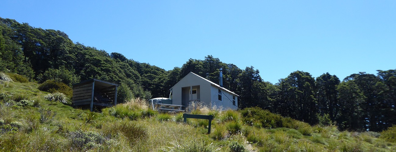
Mt Fell Hut
Mount Richmond Forest Park
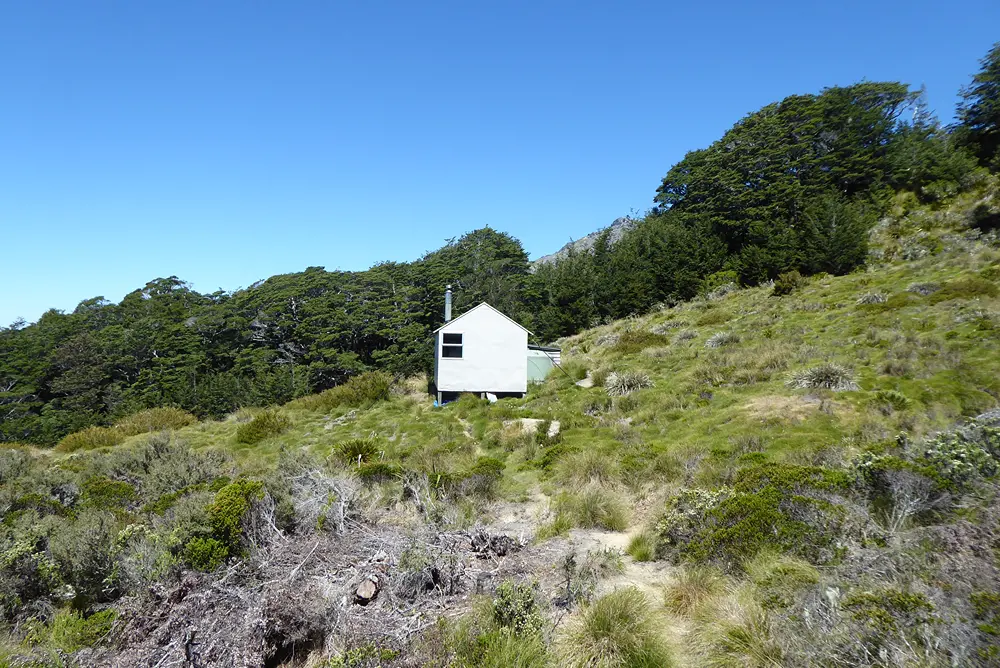
Mt Fell Hut is a standard hut located at the tree line south of Mt Fell (1602 m), in Mount Richmond Forest Park. The hut is most easily accessed via Timms Creek in the Wairau Valley, though it can also be reached via Mt Richmond and Richmond Saddle Hut, or from the Pelorus Valley via Middy Hut.
| Details | |
| Distances | 11 km Timms Creek to Mt Fell Hut; 11 km Mt Fell Hut to Middy Hut; 5 km Mt Fell Hut to Richmond Saddle Hut via Mt Richmond summit; 6.1 km Richmond Saddle Hut to road end |
| Time Required | 7 hr Timms Creek to Mt Fell Hut; 8 hr Mt Fell Hut to Middy Hut; 4 hr Mt Fell Hut to Richmond Saddle Hut via Mt Richmond summit; 2 hr Richmond Saddle Hut to road end |
| Trail Type | Tramping track |
| Physical Difficulty | Hard |
| Uses | Walking and trail running |
| Start Elevation | 200 m (Timms Creek) |
| Finish Elevation | 1280 m |
Middy Hut (Pelorus Track)
Walking and trail running
Richmond Saddle Hut
Walking and trail running
2 hr from Nelson | 1 hr from Blenheim
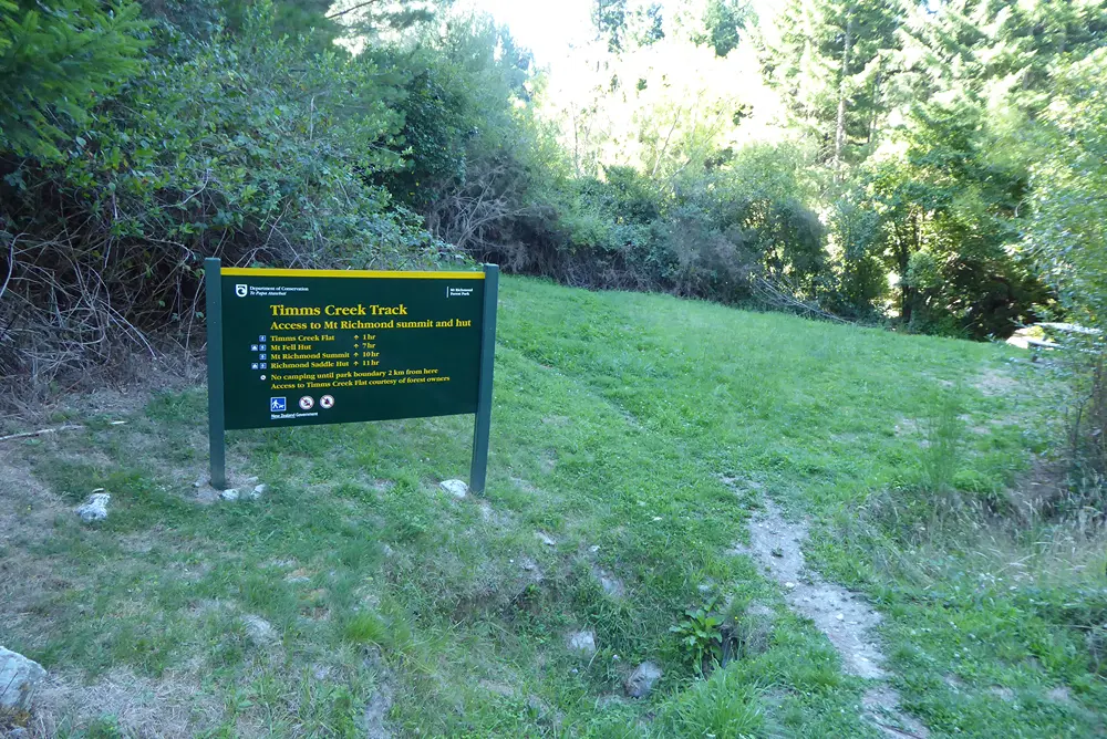
Mt Fell Hut is most easily accessed via Timms Creek Route, which begins at the end of Te Rou Rd, on the northern side of the Wairau River.
From Nelson, head east along State Highway 6 all the way into Marlborough. Turn right onto Northbank Rd, which is just before the Wairau River bridge. Follow Northbank Rd for 31 km to the right-hand turnoff to Te Rou Rd. Follow Te Rou Rd into pine forest and continue to the road end, where the track begins.
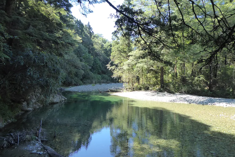
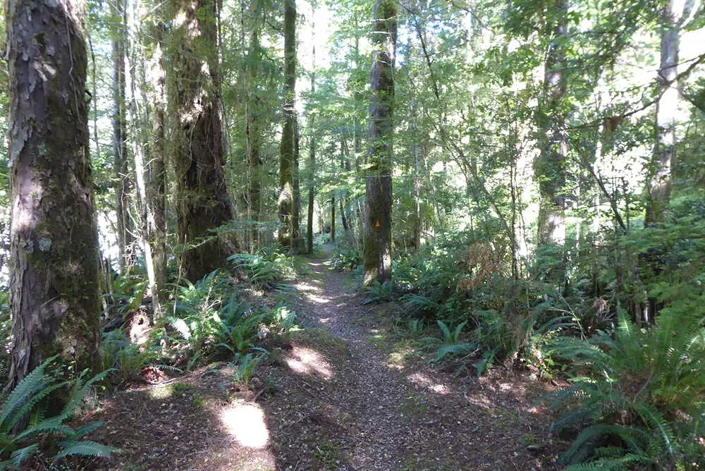
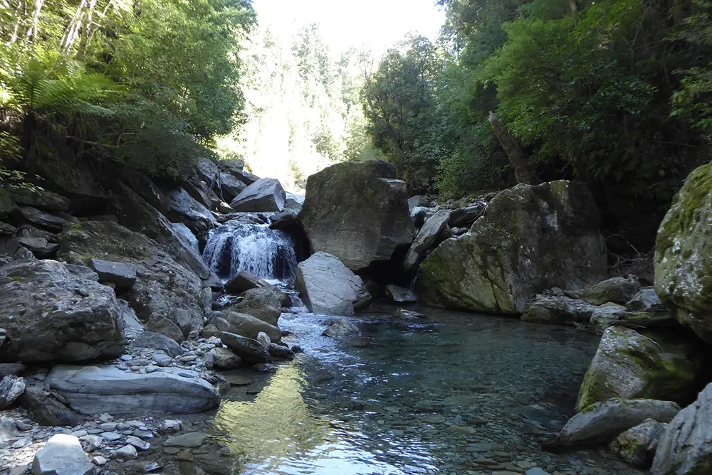
The first 2 km of the route pass through private forestry land until reaching the Mount Richmond Forest Park boundary. From here you’ll enter beech-podocarp forest, heading up the valley on the true right of the clear-flowing Timms Creek. The initial 5 km is relatively gentle with the route only gaining 100 m elevation as it heads up the valley.
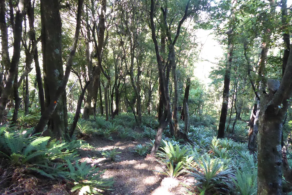
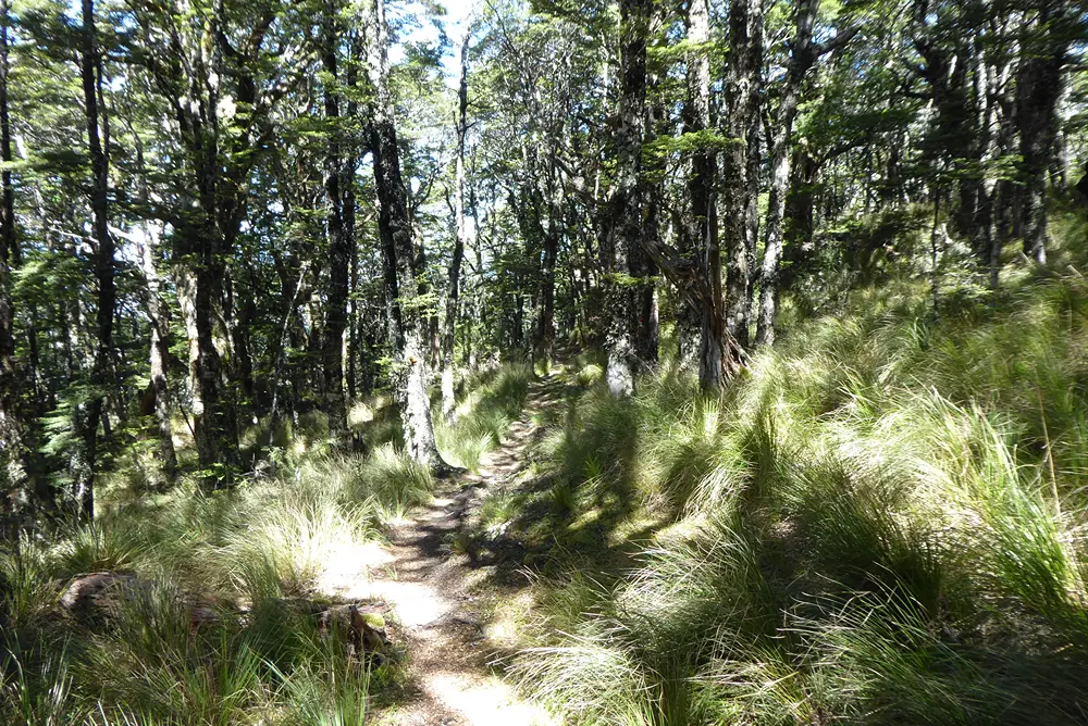
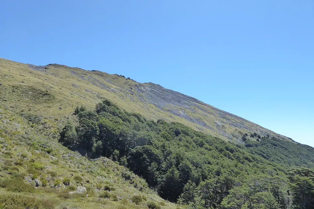
The route fords the left branch of Timms Creek before immediately beginning the climb. This marks the start of the remaining 900 m of ascent to the hut, as the track gains the south-eastern spur of Johnston Peak. The forest changes noticeably with elevation, transitioning from beech-podocarp forest to kāmahi-beech forest with mountain tōatoa and pāhautea, before becoming predominantly silver beech with broad-leaved bush tussock near the tree line.
At around 1180 m the track curves to the north, now climbing the mountainside at a more oblique angle at a gentler gradient. This approach continues for 2.5 km until you reach the tree line at 1280 m elevation.
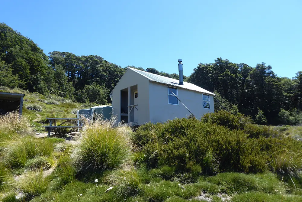
Mt Fell Hut is located in a sloping clearing just below the tree line at an elevation of 1280 m. Built by the New Zealand Forest Service in 1964, the hut was originally known as Mt Richmond Hut, reflecting its position as the closest hut to Mt Richmond. Following the relocation of Richmond Saddle Hut to its present site in 1968, the hut was renamed Mt Fell Hut, after the nearby summit. In 2016, the hut was airlifted approximately 250 m south to a more stable location after the original site became affected by slope instability.
| Mt Fell Hut | |||
| Hut Type | Standard Hut | Capacity | 6 |
| Bookings | Not required; first in, first served | Elevation | 1280 m |
Mt Fell Hut to Richmond Saddle Hut via Mt Richmond summit
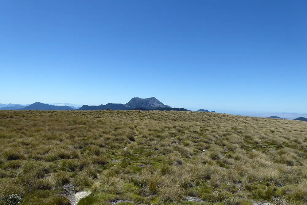
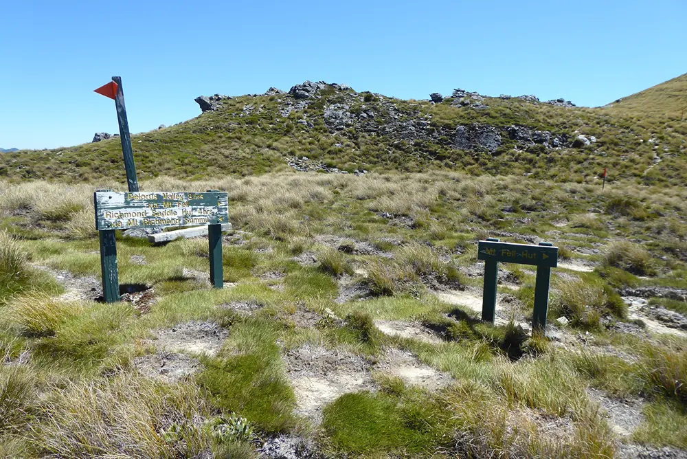
From Mt Fell Hut, follow the track north, as it leaves the tree line and climbs to the main ridge. Here there is a track junction, with the track to Middy Hut in the Pelorus Valley heading to the right over Mt Fell. Turn left and head south along the poled route towards Mt Richmond. The route traverses open tussock country, with steep bluffs dropping away to the west. Although generally straightforward, the track is not always well defined and tussock can conceal rocks and uneven ground.
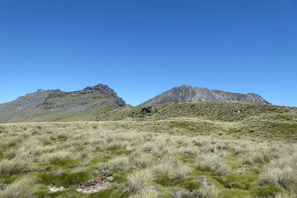
Beyond Johnston Peak, the route crosses the broad saddle known as Devil’s Armchair before beginning the ascent of Mt Richmond. The poled route climbs around craggy rock outcrops and boulder fields as it approaches the summit (1760 m), where expansive views extend across the Richmond Ranges, Wairau Valley and Tasman Bay.
To continue to Richmond Saddle Hut, descend the summit ridge then follow the poled route as it heads off the western flank of the mountain, dropping down across boulder fields and loose scree. Take care on the descent, particularly where loose rocks could be dislodged onto people below. After re-entering the bush at the tree line, continue down to Richmond Saddle Hut.
| Richmond Saddle Hut | |||
| Hut Type | Standard Hut | Capacity | 8 |
| Bookings | Not required; first in, first served | Elevation | 1200 m |
Mt Fell is an alpine environment, so proper preparation is essential to ensure a safe trip. The track reaches a high elevation and is exposed above the tree line. You must always be prepared for freezing conditions and take extreme care if snow and ice are present. Do not rely on the Blenheim weather forecast as the alpine conditions in Mount Richmond Forest Park are likely to be drastically different. Make sure you carry plenty of water with you as there are no reliable water sources between Timms Creek and Mt Fell Hut.
See the Mountain Safety Council website for useful information on preparing for the outdoors.