Inland Track
Abel Tasman National Park
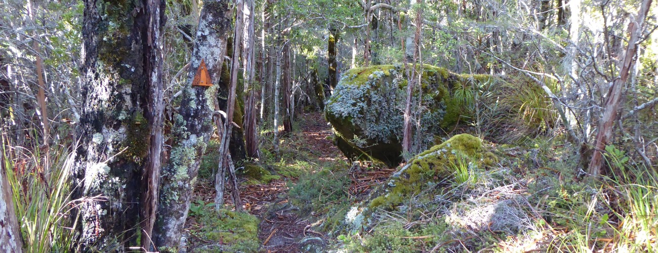
Inland Track traverses the interior of Abel Tasman National Park. Receiving only a fraction of the visitors that the Coast Track attracts, it offers a more traditional tramping experience, with rugged tracks, challenging topography and a greater sense of remoteness. The route passes through extensive native forest and reaches several high viewpoints with expansive views across the park, Tasman Bay and Golden Bay. Inland Track is typically completed in three days, though numerous connections with Coast Track allow trips of varying length and difficulty to be created.
| Details | |
| Length | 41.6 km Mārahau to Wainui Bay |
| Time Required | Typically 3 days (Mārahau to Wainui Bay) |
| Trail Type | Tramping track |
| Physical Difficulty | Moderate |
| Uses | Walking and trail running (seasonal MTB on Gibbs Hill) |
| Direction | Either |
| Max Elevation | 1050 m |
Coast Track
Walking and trail running
Totaranui (via Gibbs Track)
Walking and trail running
Wainui Hut
Walking and trail running
See also
Castle Rocks Hut
Walking and trail running
Moa Park Track
Walking and trail running
1 hr from Nelson (Mārahau) | 2 hr from Nelson (Wainui Bay)
The Inland Track is typically completed in three days, with overnight stays at Castle Rocks Hut and Awapoto Hut. Whariwharangi Hut also provides the option of a third night stay at the northern end. Unlike the huts along the Coast Track, Castle Rocks Hut and Awapoto Hut are Standard Huts, meaning they are cheaper and do not require booking, but are smaller and provide fewer facilities.
Inland Track can be completed in either direction, with the two main access points being Mārahau in the south, and Wainui Bay in the north. The track can also be accessed from Canaan Downs, Birds Clearing and Totaranui, meaning there are many options for circuits of varying length. Overnight trips between Canaan Downs and Mārahau are a common way for trampers to complete part of the track.
Mārahau is the southern gateway to Abel Tasman National Park. To get to the beginning of the Coast Track, follow the main (and only) road through Mārahau. A kilometre past the beachfront you’ll see signage indicating Abel Tasman Car Park on the right. There are toilets and an information kiosk with track information, tide timetables and warnings.
Mārahau to Castle Rocks Hut
Distance: 14.3 km • Time Required: 5-6 hr
Follow Abel Tasman Coast Track for 2.7 km until just after the Tinline Bay campsite, which is where Inland Track forks to the left. From here Inland Track climbs steadily through regenerating native bush, dominated by kānuka, with lush broadleaf forest and ferns in the gullies. The track is generally well-formed and sandy, and the gradient is initially gentle, before steepening considerably for the next kilometre. As you climb you’ll enjoy occasional glimpses towards Anchorage and back across Tasman Bay.
After around 2 hr 15 min (4 km) from the Coast Track turnoff you will reach a track junction where a track heads downhill to reconnect with the Coast Track near Anchorage (2 hr 30 min away). Holyoake Clearing Shelter, at 600 m elevation, is a further 15 min past this junction.
From Holyoake Clearing the track is rougher, but the gradient is largely undulating with only short uphill sections. The surrounding bush is less disturbed and contains some attractive rimu. Keep an eye and an ear out for kākā and kākāriki, both of which are increasing in numbers thanks to Project Janszoon. The track dips in and out of a few stream gullies along the 6.2 km (2-3 hr) to Castle Rocks Hut.
Castle Rocks Hut stands in a relatively sunny spot on the edge of a small clearing.
| Castle Rocks Hut | |||
| Hut Type | Standard Hut | Capacity | 8 |
| Bookings | Not required; first in, first served | Elevation | 720 m |
Castle Rocks themselves are a 20 min walk from the hut. The several granite outcrops that stand on the edge of the ridge provide impressive views over Mārahau Valley and further out across Tasman Bay. Note that the track to the rocks is in poor condition, with erosion making some sections difficult.
Castle Rocks Hut to Awapoto Hut
Distance: 13.7 km • Time Required: 4-5 hr
The track climbs up the broadly-sloping Evans Ridge and is uphill most of the way with varying degrees of steepness. The track is not well-graded, with ruts and roots adding to the physical challenge. Dracophyllum becomes numerous a little further up the track and mountain cedar (pahautea) becomes prominent above 1000 m elevation.
Not too long before Moa Park Shelter, the track reaches the top of the ridge (the highest point on the Inland Track; 1050 m) and flattens out. Porters Rock is a worthy 45-min side trip from here; the track climbs to a large granite outcrop, which provides spectacular views of the interior of Abel Tasman National Park and Tasman Bay. Two minutes further along Inland Track, another short side track leads to an outcrop which allows Moa Park to be viewed from above.
Moa Park Shelter (3.6 km from Castle Rocks Hut) is located next to Table Creek. It has no bunks but you can still camp here on the flat clearings that provide enough room to pitch a tent.
Beyond Moa Park, it is a short distance to a track junction between the continuation of the Inland Track to Awapoto Hut, and Moa Park Track to Canaan Downs car park (1 hr 30 min). Turn right here and follow Inland Track through mainly beech forest as it continues northward along Evans Ridge. The ridge is undulating, passing over a high point of 1025 m, before overall descending to Awapoto Hut, positioned in a clearing at 660 m elevation, a short side track off the eastern side of Inland Track.
| Awapoto Hut | |||
| Hut Type | Standard Hut | Capacity | 12 |
| Bookings | Not required; first in, first served | Elevation | 660 m |
Awapoto Hut to Wainui Bay
Distance: 13.8 km • Time Required: 4-6 hr
From Awapoto Hut, Inland Track continues northwards, undulating as it descends towards Pigeon Saddle. There are some steep climbs and drops along this section. The track reaches Totaranui Rd at (Pigeon Saddle) approx. 2 hr (5.4 km) from Awapoto Hut.
Inland Track continues on the northern side of Pigeon Saddle. Initially continuing through beech forest, the track soon joins a farm track and sidles across open pasture, offering excellent views over Wainui Bay and across Golden Bay. After about 1 km, having crossed two sections of pasture, the track re-enters regenerating native bush along the crest of the ridge and climbs gradually towards Gibbs Hill. Approximately 10 min before reaching Gibbs Hill, a junction with Gibbs Track branches off to the right and descends to Tōtaranui (approximately 4.1 km away).
Inland Track passes just below the summit of Gibbs Hill (405 m), which can be reached via a short detour from the main track. Beyond here, the track gradually descends along the ridge to a saddle, where it meets Coast Track. Turn left and follow Coast Track as it descends to the road end at Wainui Bay.