Kānuka Track
Grampians Reserve
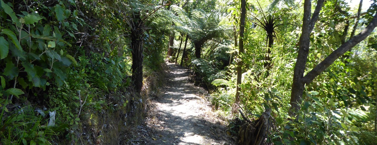
Kānuka Track contours the southeastern slopes of The Grampians through kānuka trees and native bush, and connects to Brook Valley.
| Details | |
| Length | 1.9 km from Brook Street to Mahoe Track (via southern option); 2 km to Grampians Summit Road (via northern option) |
| Time Required | Allow at least 1 hr to create a circuit with other Grampians tracks |
| Trail Type | Walking track |
| Physical Difficulty | Moderate |
| Uses | Walking and trail running |
Grampians Summit Road
Walking, trail running and MTB
Grampians Walkway
Walking and trail running
Kahikatea Track
Walking and trail running
10 min from central Nelson
The most direct way to access Kānuka Track is from Blick Tce in Brook Valley. Head up Grampians Summit Road, and at the first hairpin turn in the road, follow Kānuka Track as it continues straight up the gully.
After branching off Grampians Summit Road, Kānuka Track continues for 700 m to Couch Saddle (235 m elevation). Kānuka Track heads west from Couch Saddle, then cuts back to the north and reaches a junction. Heading right at the junction will take you through stands of mamaku and kānuka to connect with Grampians Walkway on the ridge north of the summit. Heading left at the junction will take you south around the hillside through regenerating native bush and scrub, eventually linking up with Kahikatea Track and Mahoe Track.
If approaching from Market Road, you can access Kānuka Track by heading up Mahoe Track or Kahikatea Track, both of which connect to it. If approaching from Collingwood St, follow Grampians Walkway along the ridge north of the summit, where Kānuka Track heads into the bush on the left (it is signposted).


