Widdershins
Marsden Valley Reserve
Widdershins is a shared track that heads along the top of Barnicoat Range, linking Glider Road and Involution. It can be completed in either direction, on bike or on foot. ‘Widdershins’ is a Scottish term meaning ‘to keep turning left’, or counter-clockwise.
| Details | |
| Length | 2 km |
| Trail Type | Shared track |
| Physical Difficulty | Moderate |
| Technical Difficulty | Intermediate |
| Uses | Walking, trail running and MTB |
| Direction | Either |
| Min Elevation | 580 m |
| Max Elevation | 715 m |
Barnicoat Range Walkway
Walking and trail running
Glider Road
Walking, trail running and MTB
Involution
Walking, trail running and MTB
Jenkins Hill
Walking, trail running and MTB

5 min from Stoke
All Marsden Valley and Barnicoat Range trails can be accessed off the end of Marsden Valley Rd, 5 min from Stoke. At the end of Marsden Valley Rd, just before the quarry, there is a small car park on the right. Here you will find an information panel with a map and details on trail times and distances.
The downhill end of Widdershins is easily accessed via Barnicoat Walkway and Glider Road. If you’re riding, Glider Road is the better option as parts of Barnicoat Walkway are too steep to ride. Widdershins can be completed in either direction, though most people ride it in the uphill direction in order to get to the start of Involution.
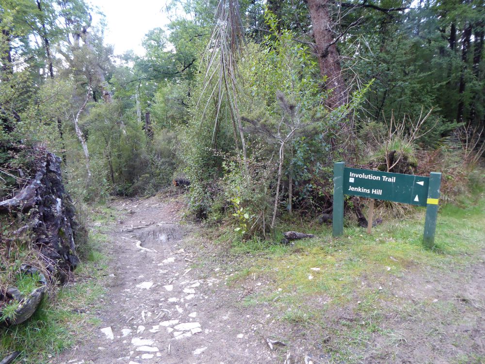
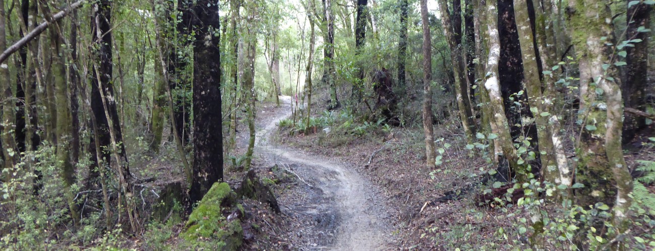
Widdershins begins at the junction of the Barnicoat Range Walkway and Glider Road. The first 600 m climbs through radiata pine around the head of the valley. It then transitions into scrubby kānuka before entering beech-kamahi forest, making a few twists and turns along the way. The track ends at Jenkins Hill 4WD Road, right next to the start of Involution.
If you’re on your bike, you can descend Involution back to Marsden Valley.
Widdershins is entirely within Marsden Valley Reserve, which is managed by Nelson City Council.