Trail Difficulty Rating
The physical difficulty rating of each track has been determined by the combination of the categories in the table below; length, total climb, average gradient and track condition. This is an attempt to create a standardised and measurable rating system across the website. The difficulty levels for each category have been based on logical thresholds that generally align with the variance in people’s fitness and experience.
This is particularly useful for tracks that fall into multiple difficulty levels over the different categories. For example Barnicoat Scout Track has a length of only 800 m (very easy), but an average gradient of 50% (very hard); across the four categories it receives a moderate difficulty rating.
It is important to consider that track conditions may change at any time through natural phenomena such as slips and weather conditions. If you want to search for tracks of certain physical difficulty, use the Search and Filter Tool .
| Rating | Length (km) | Total Climb (m) | Max Gradient (%) | Track Condition | Example |
| Very Easy | <1 | ⁓0 | ⁓0 | Usually sealed, wide, and well-formed. Often wheelchair-friendly. All waterways bridged. | Riuwaka Resurgence Walkway |
| Easy | 1-5 | 0-100 | 0-5 | Wide, sometimes sealed. All waterways bridged. | Wainui Falls Track |
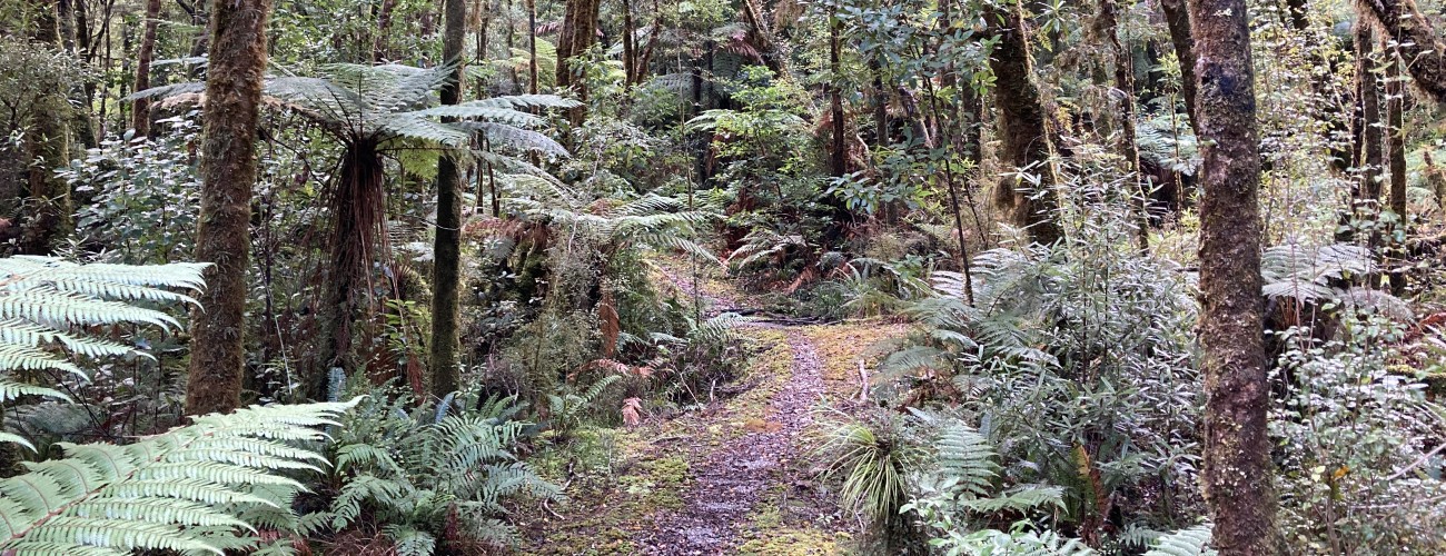
| Moderate | 5-10 | 100-500 | 5-10 | Unsealed, but well-formed and clearly marked. Only major waterways bridged. | Maitai Cave Track |
| Hard | 10-20 | 500-1500 | 10-20 | Adequately marked but poorly-formed. Rocky, rooty and often over rugged terrain. Waterways not bridged. Requires sturdy outdoor footwear. | Parapara Peak Track |
| Very Hard | >20 | >1500 | >20 | Classed as route rather than track. Unmarked, poorly defined and not maintained. Traverses very rugged terrain, e.g. alpine ridges. Requires navigation experience. | Douglas Range Traverse (Cobb Valley to Boulder Lake) |
| Very Easy | |
| Length (km) | <1 |
| Total Climb (m) | ⁓0 |
| Average Gradient (%) | ⁓0 |
| Track Condition | Usually sealed, wide, and well-formed. Often wheelchair-friendly. All waterways bridged. |
| Example | Riuwaka Resurgence Walkway |
| Easy | |
| Length (km) | 1-5 |
| Total Climb (m) | 1-100 |
| Average Gradient (%) | 1-5 |
| Track Condition | Wide, sometimes sealed. All waterways bridged. |
| Example | Wainui Falls Track |
| Moderate | |
| Length (km) | 5-10 |
| Total Climb (m) | 100-500 |
| Average Gradient (%) | 5-10 |
| Track Condition | Unsealed, but well-formed and clearly marked. Only major waterways bridged. |
| Example | Maitai Cave Track |
| Hard | |
| Length (km) | 10-20 |
| Total Climb (m) | 500-1000 |
| Average Gradient (%) | 10-20 |
| Track Condition | Adequately marked but poorly-formed. Rocky, rooty and often over rugged terrain. Waterways not bridged. Requires sturdy outdoor footwear. |
| Example | Parapara Peak Track |
| Very Hard | |
| Length (km) | >20 |
| Total Climb (m) | >1500 |
| Average Gradient (%) | >20 |
| Track Condition | Classed as route rather than track. Unmarked, poorly defined and not maintained. Traverses very rugged terrain, e.g. alpine ridges. Requires navigation experience. |
| Example | Douglas Range Traverse (Cobb Valley to Boulder Lake) |