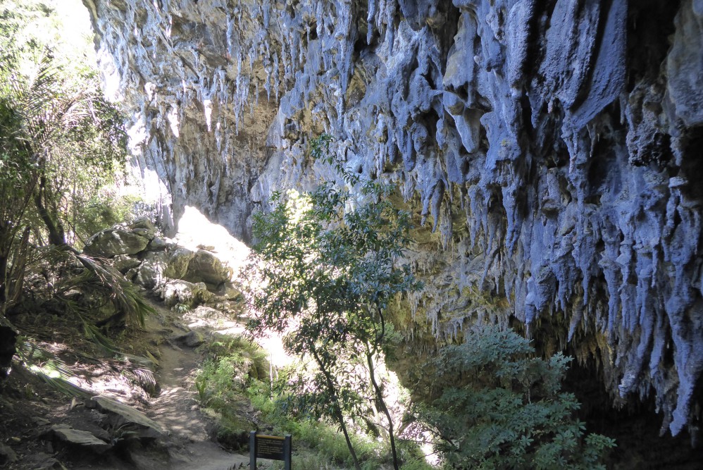
Rawhiti Cave in Golden Bay has the largest entrance of any cave in New Zealand. The track to the cave is rough and steep.
| Details | |
| Length | 3.2 km return |
| Time Required | 1 hr – 1 hr 30 min return |
| Trail Type | Tramping track |
| Physical Difficulty | Moderate |
| Uses | Walking |
| Direction | Return (out and back) |
| Start Elevation | 75 m |
| Max Elevation | 280 m |
If any layers fail to load, try clearing your cache and refreshing the page.
This elevation profile should be considered approximate. Its accuracy is determined by the quality of data available.
Rawhiti Cave Track does not connect to any other tracks.
1 hr 30 min from Nelson | 10 min from Takaka
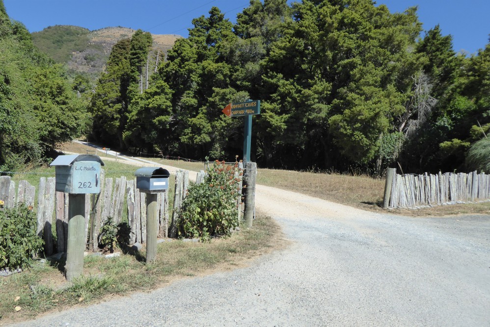
From Takaka, head northwest along Abel Tasman Drive. At the ‘t’ junction at Motupipi, turn right onto Glenview Rd, then left onto Packard Rd. Follow Packard Rd for 2.6 km until you see a DOC arrow on the left side of the road indicating the turnoff to the track. Follow the farm road, and open and close the farm gate behind you. The car park is a small grassed area.
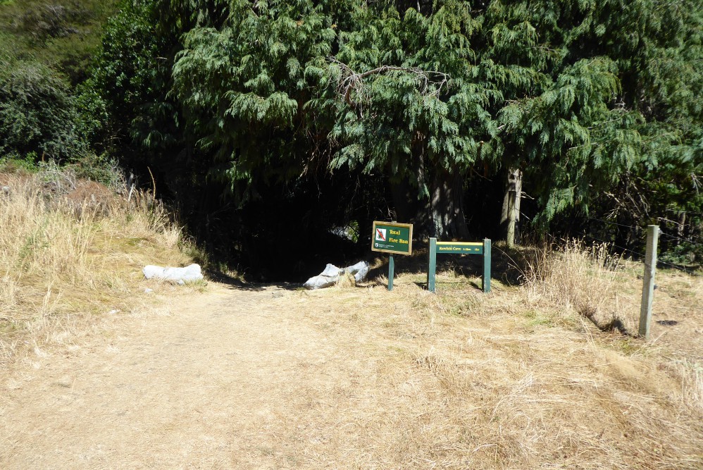
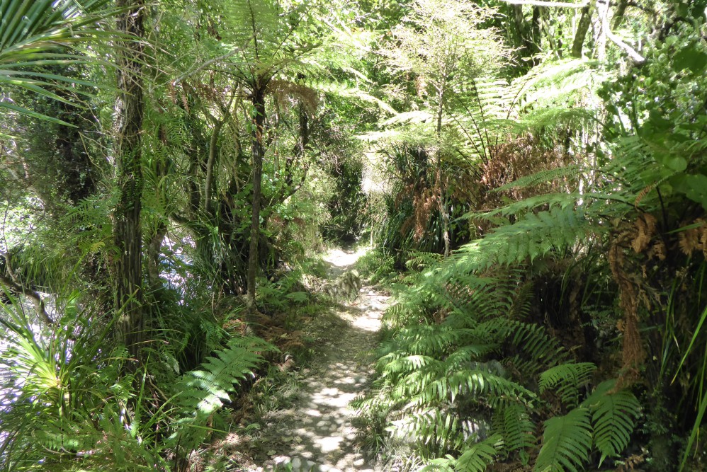
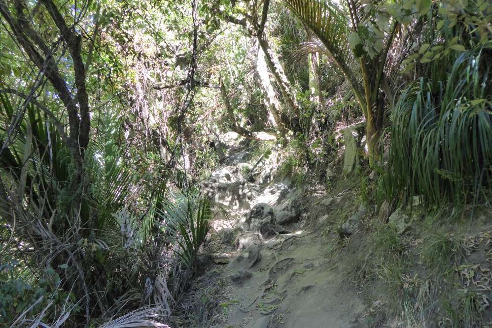
The track runs alongside the bed of the aptly-named Dry River, at the bottom of a steep-sided valley, with lush ferns and nikau growing on either side. After 1 km you’ll reach the bottom of the climb; beyond here the track is steep and rugged as it zig-zags up the steep hillside.
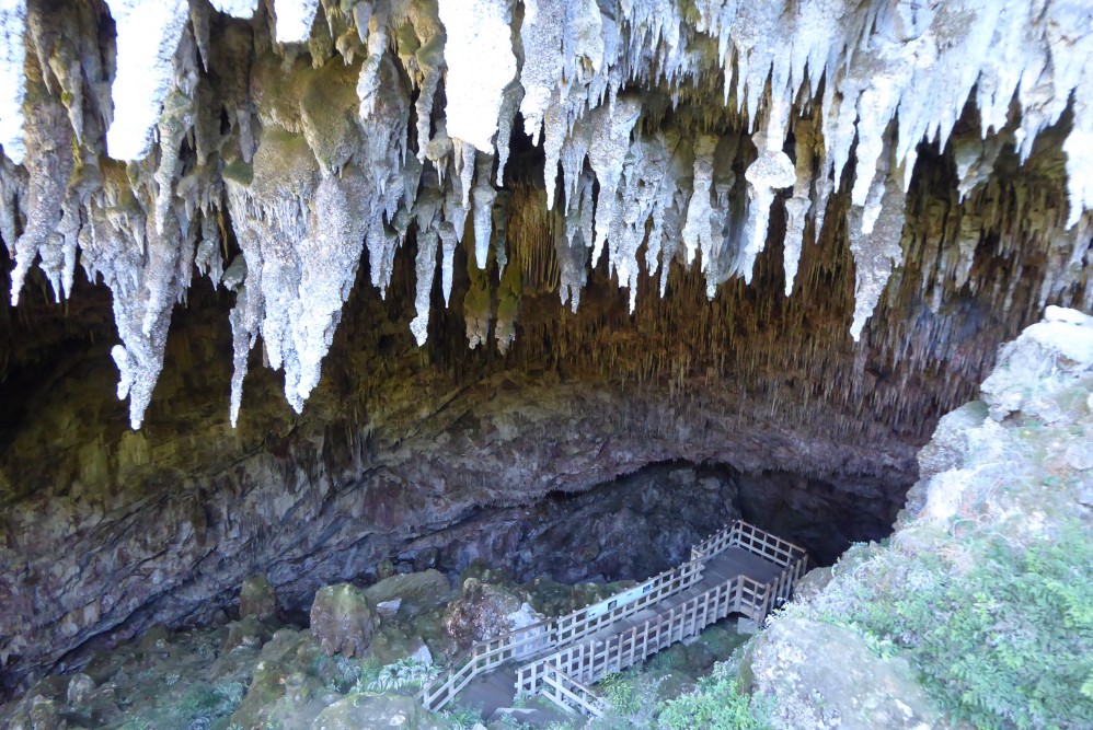
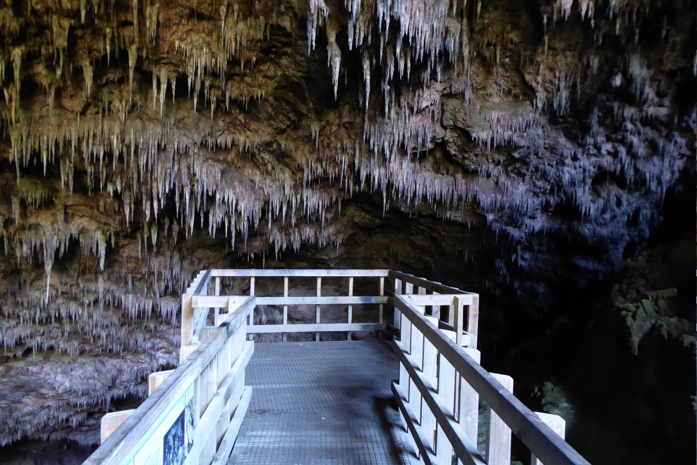
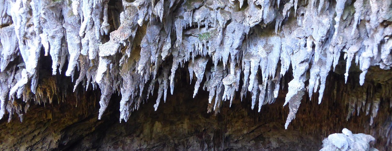
After 25 min of climbing the cave entrance suddenly comes into view. The entrance is an upside-down crescent shape, with impressive stalactites hanging like teeth. A wooden platform extends out into the cave and panels provide information of the cave’s history and ecology. Prior to this platform being built you could descend right to the bottom of the cave, which drops away diagonally downward into the hillside. Do not venture off the wooden platform; the fragile cave formations and flora are easily damaged.
Return the way you came. You will likely find the descent more challenging than the climb.
Rawhiti Cave in Golden Bay has the largest entrance of any cave in New Zealand. The track to the cave is rough and steep.
| Details | |
| Length | 3.2 km return |
| Time Required | 1 hr – 1 hr 30 min return |
| Trail Type | Tramping track |
| Physical Difficulty | Moderate |
| Uses | Walking |
| Direction | Return (out and back) |
| Start Elevation | 75 m |
| Max Elevation | 280 m |
This elevation profile should be considered approximate. Its accuracy is determined by the quality of data available.
1 hr 30 min from Nelson | 10 min from Takaka
From Takaka, head northwest along Abel Tasman Drive. At the ‘t’ junction at Motupipi, turn right onto Glenview Rd, then left onto Packard Rd. Follow Packard Rd for 2.6 km until you see a DOC arrow on the left side of the road indicating the turnoff to the track. Follow the farm road, and open and close the farm gate behind you. The car park is a small grassed area.
The track runs alongside the bed of the aptly-named Dry River, at the bottom of a steep-sided valley, with lush ferns and nikau growing on either side. After 1 km you’ll reach the bottom of the climb; beyond here the track is steep and rugged as it zig-zags up the steep hillside.
After 25 min of climbing the cave entrance suddenly comes into view. The entrance is an upside-down crescent shape, with impressive stalactites hanging like teeth. A wooden platform extends out into the cave and panels provide information of the cave’s history and ecology. Prior to this platform being built you could descend right to the bottom of the cave, which drops away diagonally downward into the hillside. Do not venture off the wooden platform; the fragile cave formations and flora are easily damaged.
Return the way you came. You will likely find the descent more challenging than the climb.
Rawhiti Cave Track does not connect to any other tracks.
Updated 29 January 2019
