Mapua to Motueka
Great Taste Trail
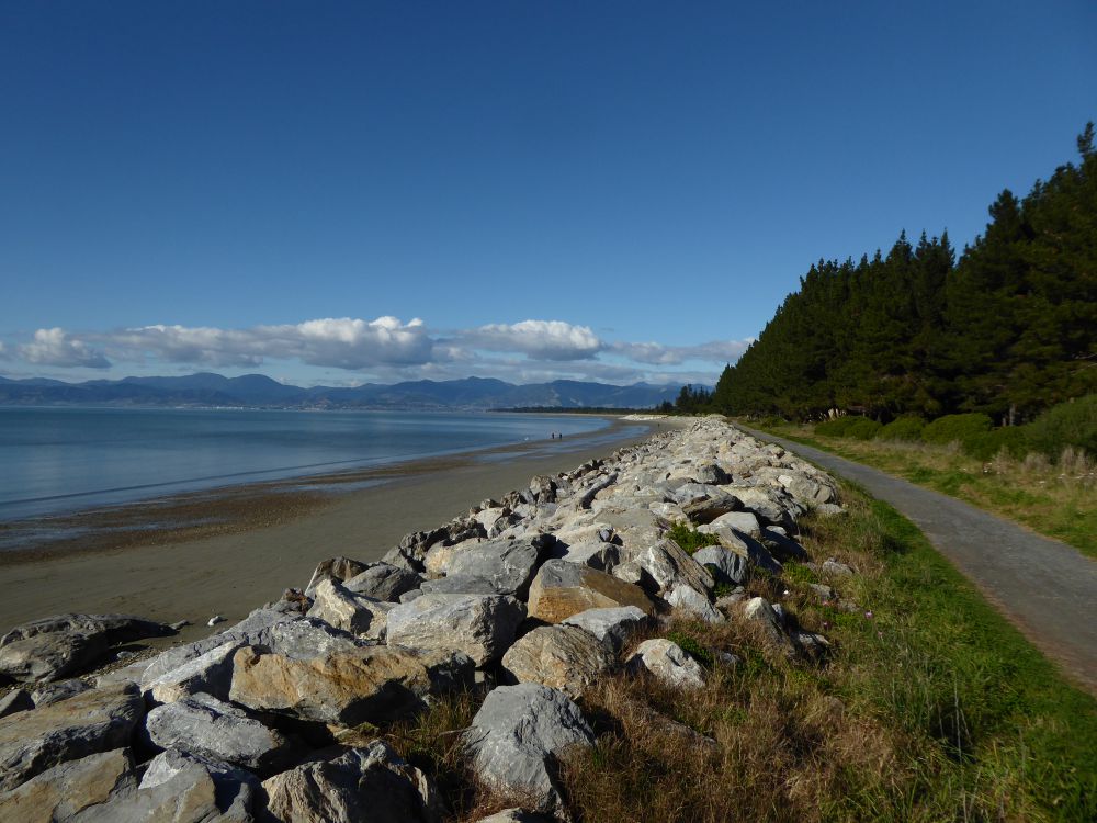
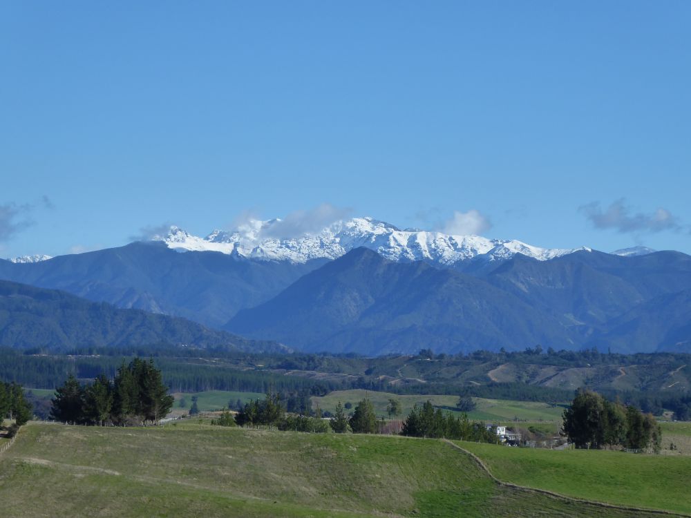
The Great Taste Trail travels between the coastal settlements of Mapua and Motueka. On the way you will pass orchards, farmland, art studios and cafes, and enjoy fantastic views of Arthur Range and Tasman Bay.
| Details | |
| Length | 26.7 km Mapua Wharf to Motueka Rec Centre |
| Time Required | 1 hr 30 min – 2 hr (by MTB) |
| Trail Type | Shared track |
| Physical Difficulty | Moderate |
| Technical Difficulty | Easy |
| Uses | Walking, trail running and MTB |
| Direction | Either |
| Max Elevation | 120 m |
Great Taste Trail: Richmond to Mapua (via Mapua ferry)
Walking, running and MTB
Great Taste Trail: Motueka to Kaiteriteri
Walking, running and MTB
25 min from Nelson (Mapua end)
This section of the Great Taste Trail starts at the Mapua Wharf, where the ferry from Rabbit Island arrives. There are several car parking areas near the wharf, though they can be very busy during summer. As the first few kilometres of the trail pass through urban streets in Mapua, there are plenty of options for street parking.
If you are starting at the Motueka end, there is plenty of street parking along the streets which the trail follows, as well as car parks closer to the town centre. A good parking option is the Motueka Recreation Centre on Old Wharf Rd, as the trail passes right by it.
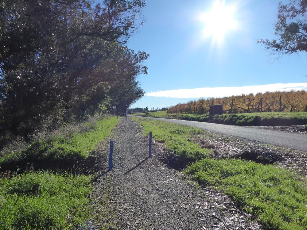
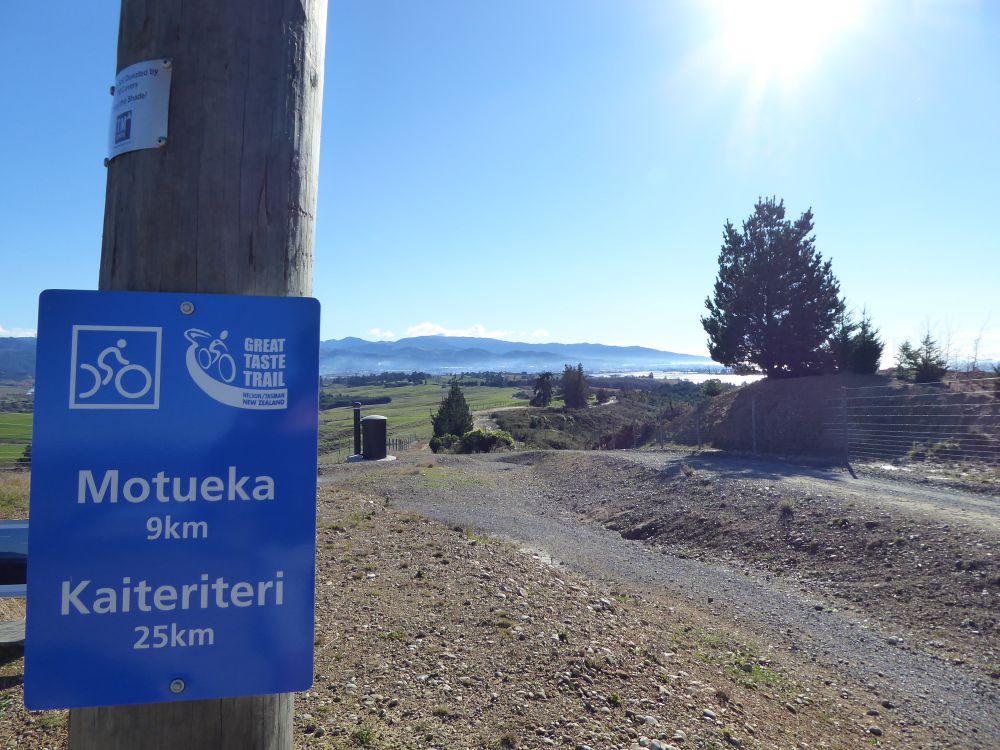
The trail is regularly marked with blue plastic posts and informative signs.
From the wharf at Mapua the Great Taste Trail heads west along Iwa St then cuts back alongside the sports field to follow Aranui Rd. Just before the intersection with Stafford Dr the trail turns north toward the coast and then follows the coast along to Broadsea Ave, turns left onto Tait St and then right onto Stafford Dr.
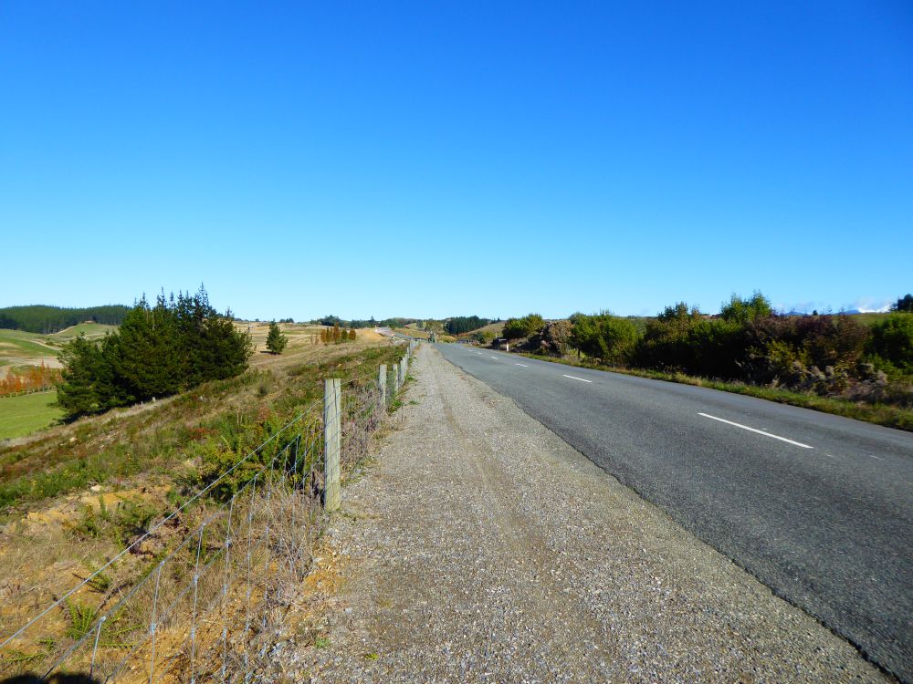
At Ruby Bay the trail turns left up Pine Hill Rd, climbing to Pine Hill Rd West, before descending down Pomona Rd and Marriages Rd. The trail runs alongside Aporo Rd (formerly State Highway 60), passing The Jester House and reaching the small community of Tasman. Be careful at the two road crossings through this section. Just past Tasman the trail goes through an underpass beneath Te Mamaku Dr (State Highway 60) and joins Harley Rd, where it heads inland, climbing along a ridge amid lifestyle blocks.
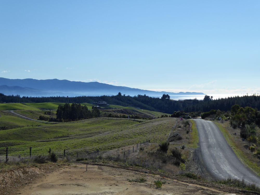
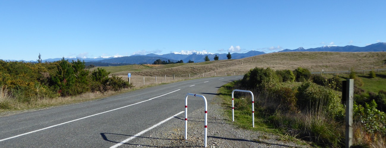
At the top of the ridge the trail turns right and heads north along Tasman View Rd, where there are fantastic views west toward the Arthur Range and north toward Tasman Bay. At the highest point of the ridge (120 m) there is a lookout with seating, information panels and a toilet.
The trail continues along Tasman View Rd, descending the ridge and turning left at Community Rd and then right to head alongside Lower Moutere Main Rd. After 2.7 km the trail turns right onto Wildman Rd and then left onto High St, which will take you to the roundabout at the entrance to Motueka. A little further along High St the trail turns right into Courtney St East, then follows the Inlet Walkway to Old Wharf Rd, opposite the Motueka Recreation Centre.
The name ‘Motueka’ is ‘Motuweka’ in full, and roughly means ‘weka amongst a small group of trees’.