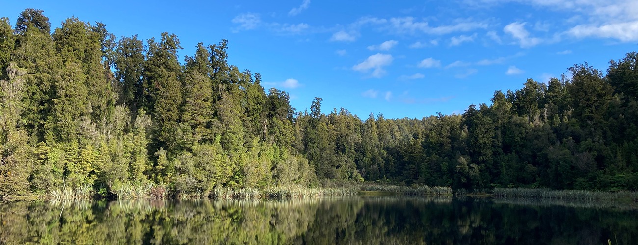
Lake Matheson
Westland National Park
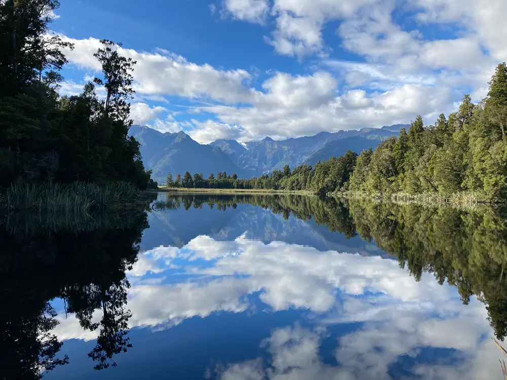
Lake Matheson / Te Ara Kairaumati Walk is a short, easy walk that circles Lake Matheson, a small lake in Westland Tai Poutini National Park, near Fox Glacier. The lake is known for its impressive reflections of Aoraki / Mount Cook and Mount Tasman on calm, clear days.
| Details | |
| Length | 4.3 km |
| Time Required | 1 hr |
| Trail Type | Walking track |
| Physical Difficulty | Easy |
| Uses | Walking |
Cook Flat trail
Walking, trail running and MTB
Lake Gault Track
Walking
5 min from Fox Glacier
From Fox Glacier, head along Cook Flat Rd for 5 km until the signposted righthand turnoff to Lake Matheson Rd. The track car park is a short distance along here. Note that Lake Matheson is a highly popular walk, and the car park can be busy with cars and tour buses during peak season. There are toilets, a café and souvenir shop next to the car park.
Cook Flat Trail runs alongside Cook Flat Rd, and provides off-road foot and bike access to Lake Matheson from Fox Glacier.
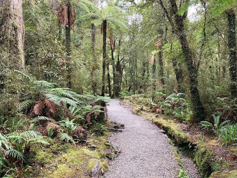
The gravel walkway is well graded and is partly wheelchair accessible.
The walk begins by crossing a suspension bridge over the Clearwater River before entering native podocarp forest on the other side. After a few hundred metres, the track reaches the eastern end of Lake Matheson and branches into the two legs of the circuit.
Heading clockwise, the walkway continues a short distance from the lake edge to the Jetty Viewpoint, where wooden stairs lead down to a viewing platform beside the water. Wheelchair access ends at this point.
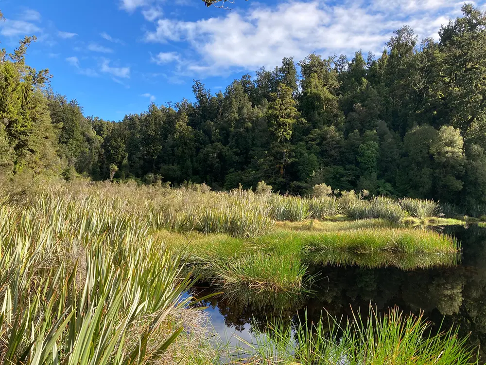
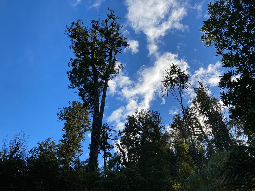
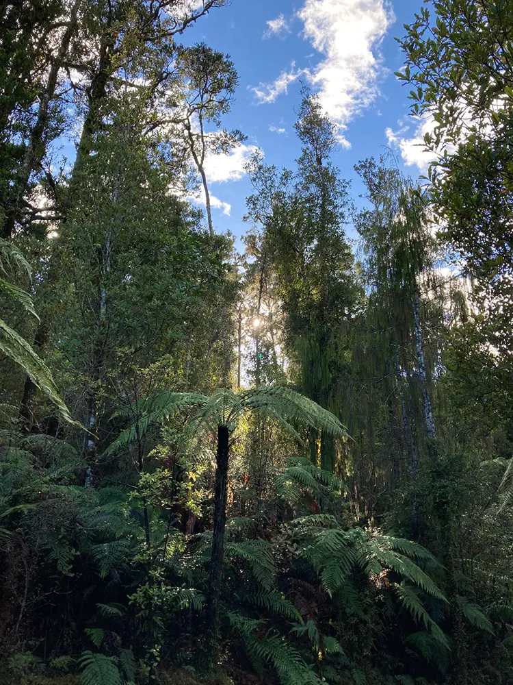
The track continues around the southern side of the lake through dense native forest dominated by rimu, kahikatea, Hall’s tōtara, miro and southern rātā, with a thick understorey of ferns and shrubs including horopito and tāwheowheo/quintinia. Track cuttings and fallen logs are often covered in moss, while harakeke grows extensively around the lake margins.
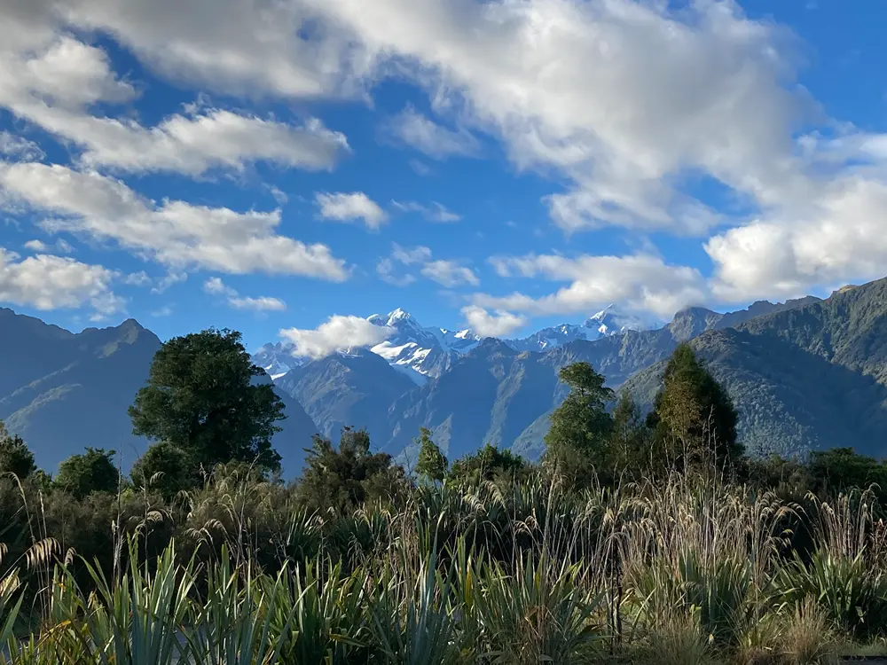
Continuing around the far side of the lake, sections of boardwalk cross wetter ground. A short side track climbs slightly above the main walkway to the View of Views, a lookout facing directly towards the Fox Glacier valley and the Southern Alps. Fox Glacier itself has retreated far enough up the valley that it is no longer visible from the lookout.
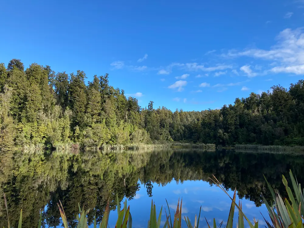
Further around the circuit, a short boardwalk leads to Reflection Island, another viewpoint with access to the lake edge. The surface of the lake can provide clear reflections of the surrounding forest and the Southern Alps. The clarity of these reflections is partly due to the lake’s dark, tannin-stained water, coloured by organic compounds leached from the surrounding forest and soils. The dark water provides a strong background for reflections at the surface, which can become almost mirror-like during calm conditions.
The track soon passes the turnoff to the Lake Gault Track, an out-and-back walk climbing onto the moraine terrace above Lake Matheson and continuing to Lake Gault, where there is a small hydroelectric scheme.
The walkway continues around the northern side of Lake Matheson, crossing boggy ground before emerging from the forest into more open country with clear views towards the Southern Alps. From here, the track completes the circuit and follows the approach track back across the Clearwater River to the car park.
Lake formation
Lake Matheson occupies a glacially formed basin. During the last glacial period, Fox Glacier / Te Moeka o Tūawe was one of several glaciers vastly larger than today, flowing beyond the present-day coastline. Around 14,000 years ago, following its last major advance, the glaciers began retreating towards the mountains, leaving behind ridges of moraine composed of rock and sediment transported by the ice. Lake Matheson formed within this moraine-dammed landscape as the Fox Glacier withdrew, occupying a depression left by it.
Much of the South Westland coastal plain is characterised by broad, cleared alluvial river flats interspersed with low, densely forested ridges of glacial moraine. These moraine deposits form irregular, often poorly drained terrain that contrasts sharply with the flatter and more extensively developed river terraces and floodplains. Consequently, settlement and farming are concentrated on the alluvial flats, while the moraine ridges remain largely undeveloped and remain covered in native forest.
Lake Matheson lies within the Westland beech gap, a roughly 150 km-long section of Westland where beech trees are conspicuously absent, despite being widespread throughout the rest of the South Island. The gap extends approximately from the Taramakau River to the Paringa River and is thought to be a legacy of Pleistocene glaciation, when large glaciers repeatedly advanced across the coastal plain and removed existing vegetation. Following the retreat of the ice, beech was slow to recolonise, partly because its relatively heavy seeds disperse only short distances. Instead, the forests around Fox Glacier developed a rich podocarp–broadleaf character, with rimu, miro and Hall’s tōtara occurring alongside southern rātā, kāmahi and quintinia. The precise origin of the beech gap remains uncertain, with evidence suggesting it may pre-date the most recent glacial maximum. Today, at the southern end of the gap, silver beech has colonised as far north as the Karangarua River, about 20 km south of Lake Matheson.
The lake reportedly takes its name from Murdoch Matheson, a cattle farmer who ran a butchery at nearby Gillespies Beach in the 1870s.
Cook Flat trail
Walking, trail running and MTB
Lake Gault Track
Walking