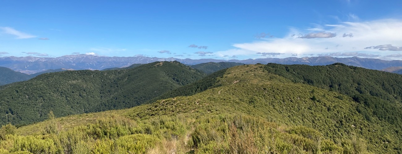
Mt Thomas
Mount Thomas Forest Conservation Area
Mt Thomas / Tawera (1023 m) is a peak northwest of Rangiora, part of the range that bounds the northern end of the Canterbury Plains. The summit can be climbed as a day walk from Wooded Gully Campsite, located at the base. Shorter loop tracks at the base of the mountain also provide easier options for families.
| Details | |
| Length | 3.5 km one way to summit via Summit Track; 11.4 km Summit Track-Ridge Track circuit; 10 km Summit Track-Wooded Gully circuit |
| Time Required | 1 hr 30 min one way to summit via Summit Track; 3-4 hr Summit Track-Ridge Track circuit; 3-4 hr Summit Track-Wooded Gully circuit |
| Trail Type | Walking track/Tramping track |
| Physical Difficulty | Moderate |
| Uses | Walking and trail running |
| Start Elevation | 320 m |
| Max Elevation | 1023 m |
Bob’s Camp Route
Walking and trail running
Cattle Peak Route
Walking and trail running
1 hr from Christchurch
Head north from Rangiora, across the Ashley River. At Loburn, head west along Hodgsons Rd, which becomes Birch Hill Rd. Approx. 16 km from Loburn, just prior to the one-way Garry River bridge, you will see the DOC sign indicating the entrance to Mt Thomas Conservation Area at the beginning of Hayland Rd; turn right here and follow it all the way to the DOC car park.
Mt Thomas is generally climbed as part of a circuit, combining Summit Track with either Wooded Gully Track or Ridge Track.
Summit Track-Ridge Track circuit
Distance: 11.4 km • Time Required: 3-4 hr
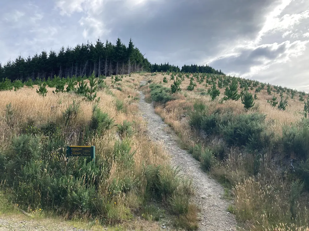
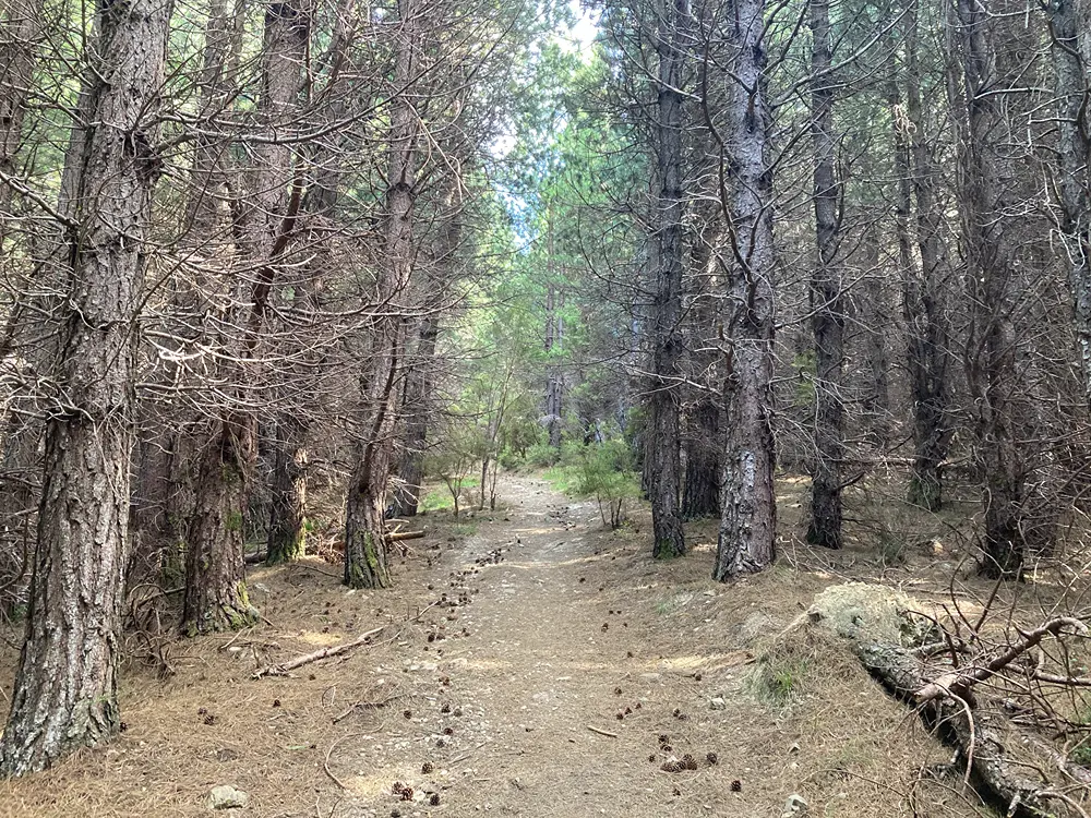
From the car park, cross the grassed area and head right at the turnoff to Wooded Gully Track. From here, Summit Track begins climbing. Heading up the southern ridge of the mountain through Rayonier pine plantation, the track is almost entirely uphill, with only a couple of short level sections offering some respite.
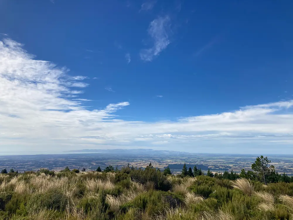
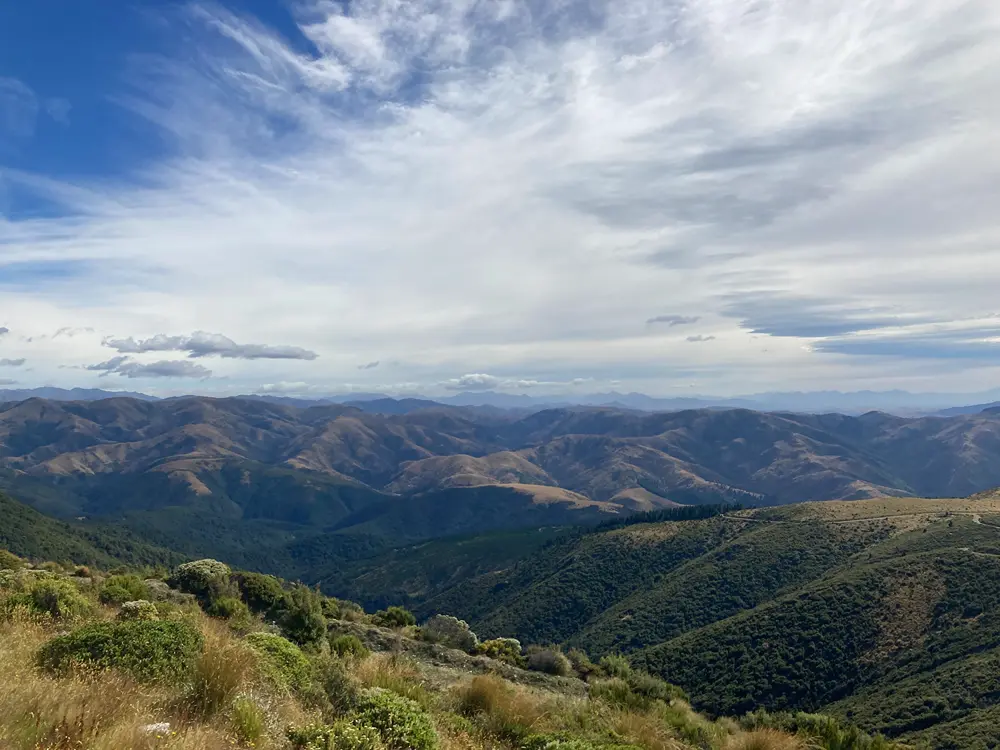
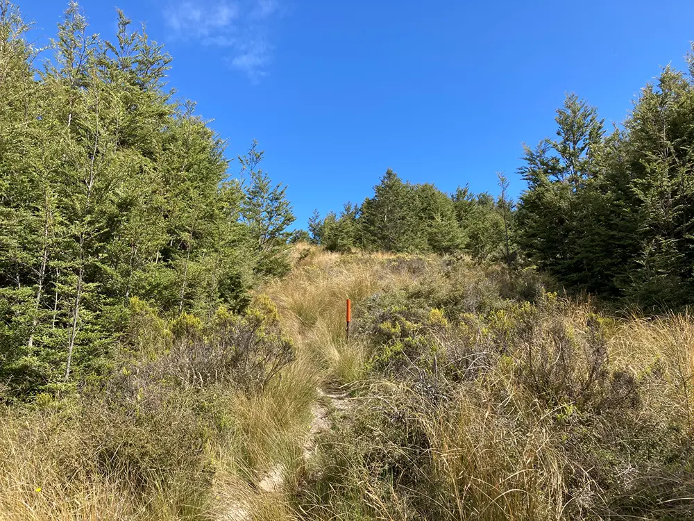
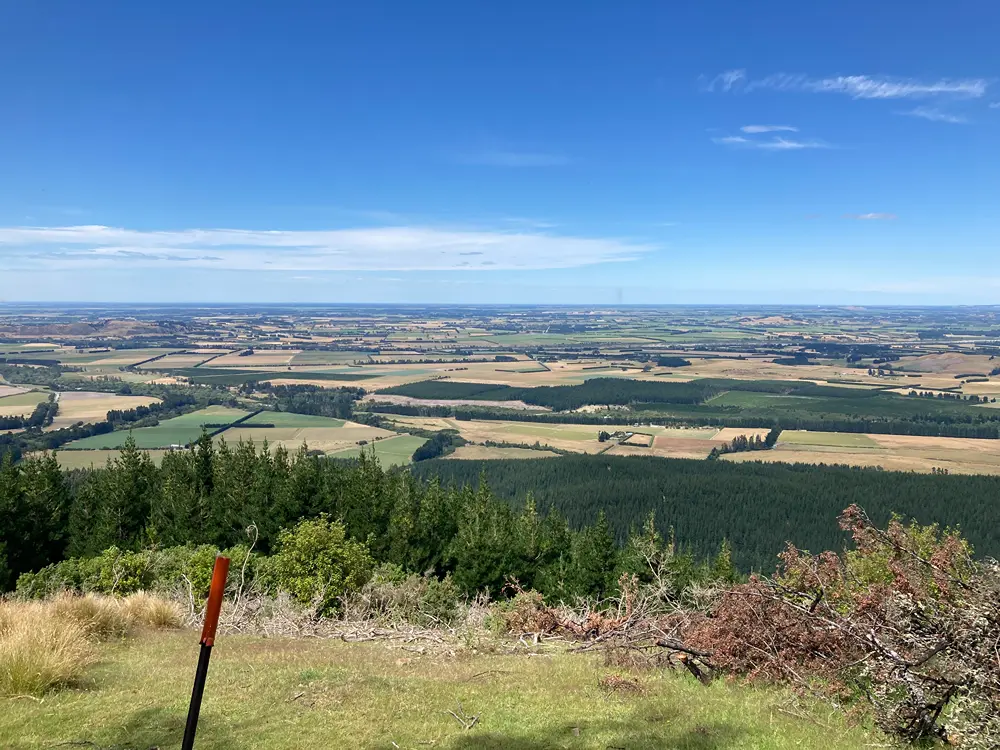
After 2.6 km, the track emerges from the pine forest and traces its edge. With shorter native scrub on the downhill side, views open westward over Wooded Gully and give a good indication of how much elevation has been gained. The track eventually connects with a forestry road, which continues for the short remaining distance to the summit. From the summit there are expansive views across the Canterbury Plains towards Christchurch City and the hills of Banks Peninsula, and inland towards the Puketeraki Range.
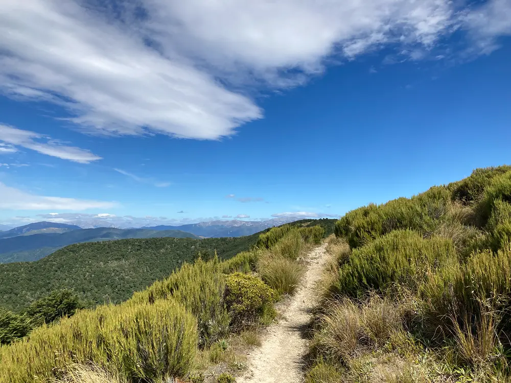
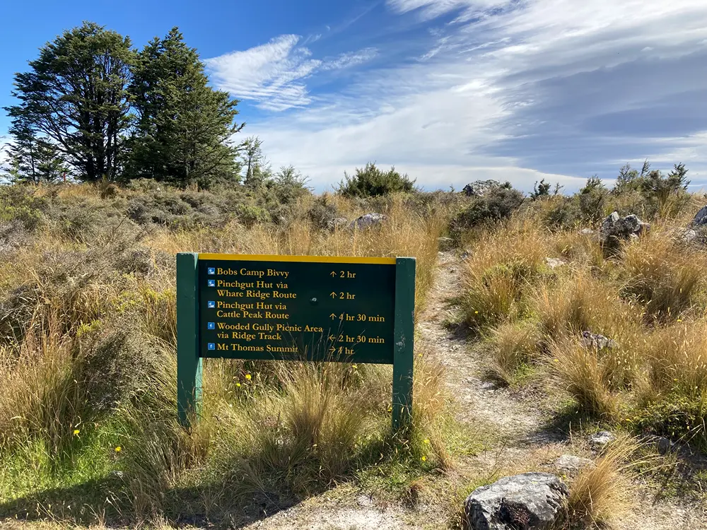
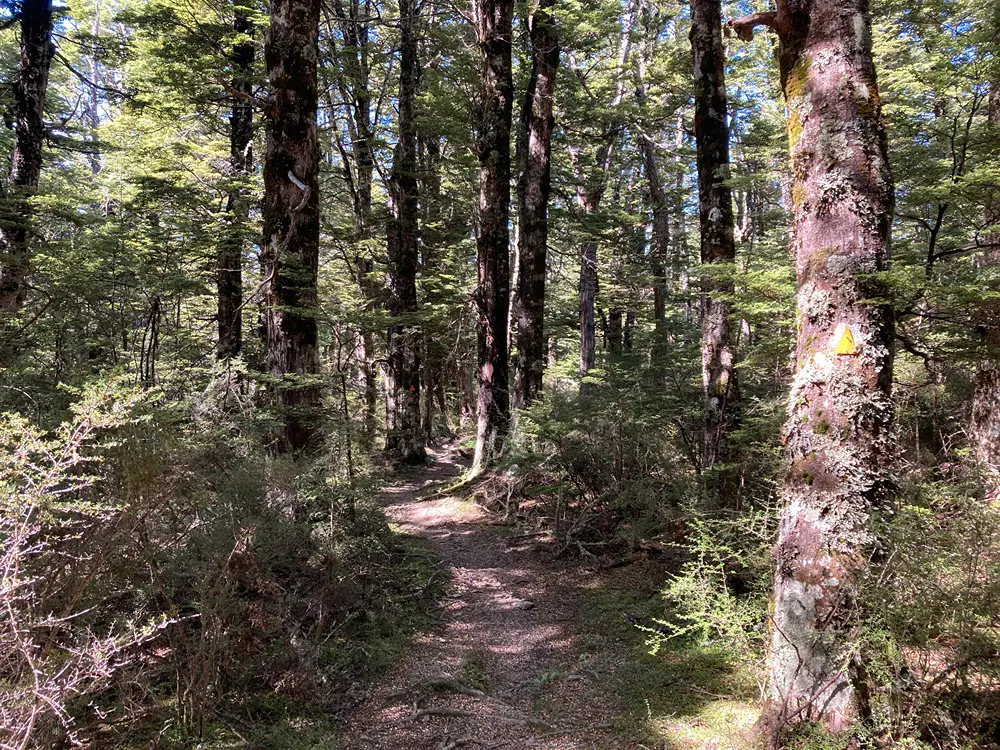
From the summit, Ridge Track continues northwest along the crest of the ridge through subalpine scrub, with further views across the plains. It then enters beech forest and drops steeply to the junction with Wooded Gully Track. After a short climb, the track reaches another junction where Whare Ridge Route continues northwest along the ridge, providing access to Bob’s Bivvy and Pinchgut Hut.
Ridge Track turns south from the junction, following the ridge on the western side of Wooded Gully. The descent through mountain beech and black beech forest is mainly gradual until the lower end, where it steepens and drops through native broadleaf forest. The track eventually leaves the native forest and enters pine plantation before reaching a forestry road (Garry Road). Follow the road back to the Wooded Gully car park.
Wooded Gully Track
Distance: 5.1 km (car park to Ridge Track) • Time Required: 2 hr
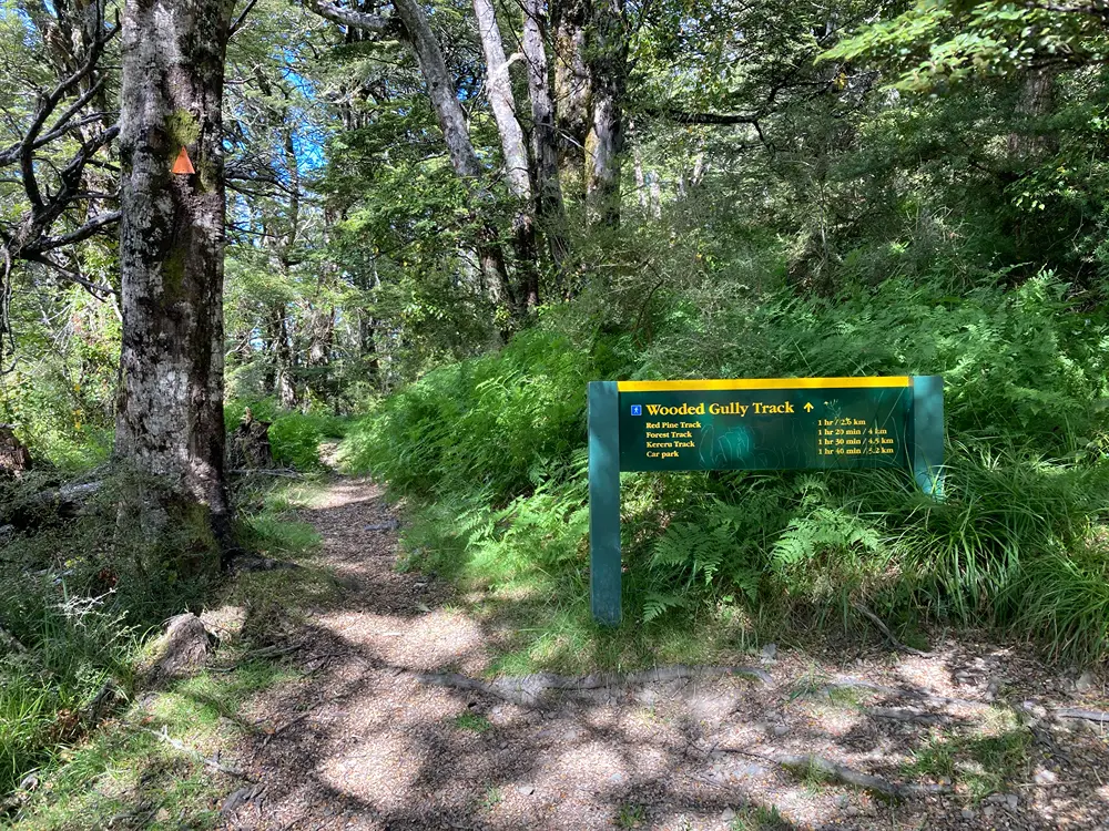
Wooded Gully Track begins from the end of Kererū Loop. Follow the latter to the signposted junction after the bridge over the stream, where Wooded Gully Track continues up the gully. From here, the track becomes more rugged, with step-ups, exposed roots and several unbridged stream crossings to negotiate.
After about 500 m, you will reach the turnoff to Forest Track, which crosses to the eastern side of the gully and eventually connects with Summit Track near the car park. A further 1.3 km up Wooded Gully Track is the upper junction with Red Pine Track.
Beyond Red Pine Track, Wooded Gully Track continues climbing through increasingly remote native forest, following the upper reaches of the gully before climbing more steeply towards the ridge. It eventually reaches Ridge Track, where turning right leads towards the summit of Mt Thomas, while turning left leads towards Whare Ridge Route and Bob’s Bivvy.
Kererū Loop
Distance: 2.3 km • Time Required: 45 min
This is a short, family-friendly option that loops around the lower part of Wooded Gully. The loop incorporates sections of Wooded Gully Track and Red Pine Track, together with a connecting track between the two.
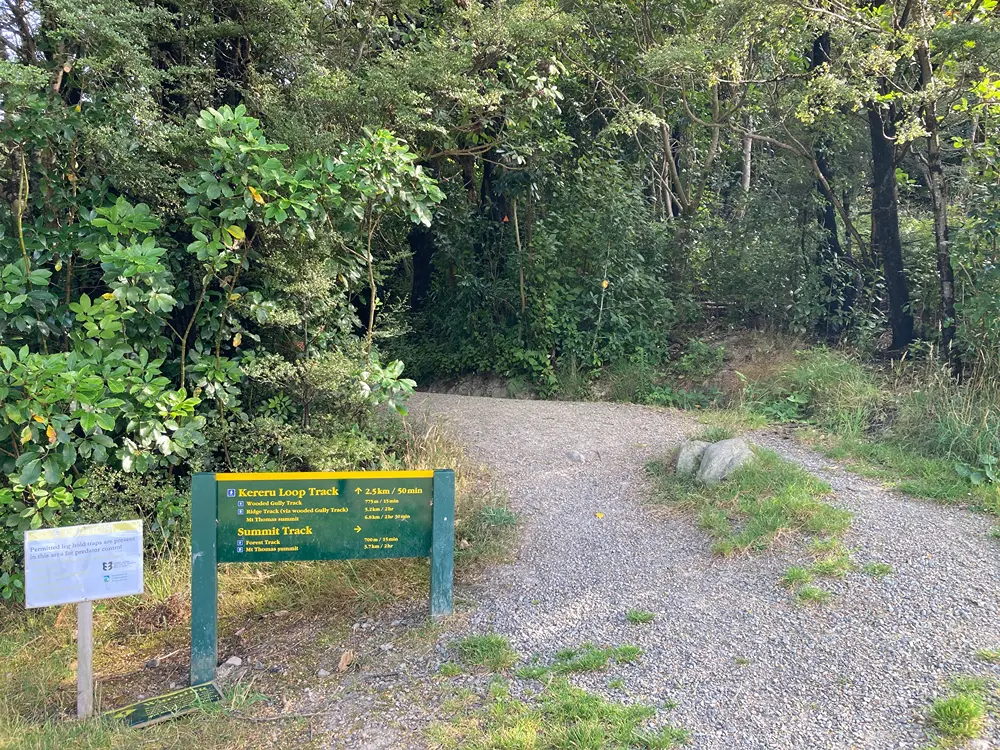
From the car park, cross the grassed area and enter the beech forest at the sign indicating the start of Wooded Gully Track. The track heads up the gully on the true left of the stream, climbing gradually. A footbridge crosses the stream before the track winds uphill to a junction. Here, Wooded Gully Track continues to the right; remain on Kererū Loop, which continues climbing for a few hundred metres before connecting with Red Pine Track.
Turn left and follow Red Pine Track back down the opposite side of the gully to return to the car park.
Red Pine Loop
Distance: 5.7 km • Time Required: 1 hr 30 min
Red Pine Track crosses Wooded Gully Stream near the car park and climbs the western side of Wooded Gully, staying just within the native forest beneath the pine plantation higher on the hillslope. The track passes through predominantly beech forest but also features a small number of rimu, which are locally uncommon and give the track its name.
The upper end of Red Pine Track connects with Wooded Gully Track at about 580 m elevation. To complete the loop, turn right and follow Wooded Gully Track back down the gully to the car park.
Bob’s Camp Route
Walking and trail running
Cattle Peak Route
Walking and trail running