Reservoir Creek Walkway
Kingsland Forest Park
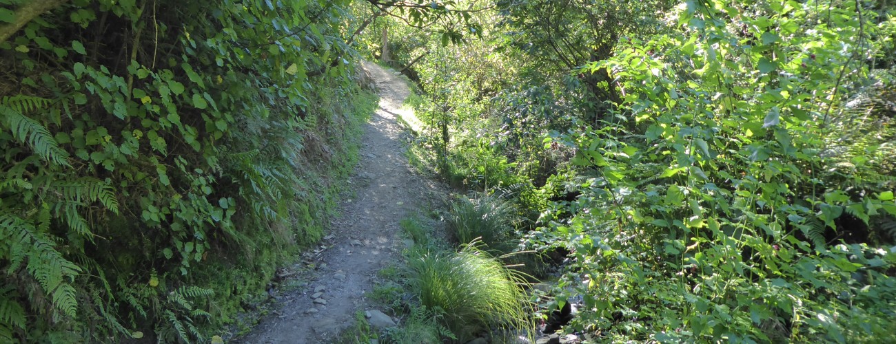
Reservoir Creek Walkway is at the base of the Barnicoat Range in Richmond. The walkway leads to a historic reservoir and connects with several other walking tracks in Kingsland Forest Park allowing for circuits of varying length and difficulty.
| Details | |
| Distances | 900 m Easby Park to reservoir; 1.6 km reservoir to Oliver Rd |
| Time Required | Varies; allow at least 30 min |
| Trail Type | Walking track |
| Physical Difficulty | Moderate |
| Uses | Walking and trail running |
| Start Elevation | 50 m (Easby Park) |
5 min from Richmond
Reservoir Creek Walkway begins at Easby Park, which is on Marlborough Cres in Richmond. It connects with several other Kingsland Forest Park and Dellside Reserve tracks that can be access from other nearby points in Richmond (refer to map).

From Easby Park, follow the walkway as it heads up the gully alongside Reservoir Creek. The track gradually gains elevation as it passes through regenerating native bush. After 900 m, you’ll reach the reservoir that gives both the track and creek their name.
The reservoir was constructed in the early 1890s as part of Richmond’s first reticulated water supply scheme, which supplied the township for many decades. The reservoir ceased to be used for water supply after 1970 but remained a local landmark until its decommissioning in 2014. Another point of interest is that the walkway passes the site of the short-lived Cambrian Coal Mine, which was established in 1862 a short distance upstream of the present-day car park. This is also the approximate location of the Waimea Fault, although there is no obvious evidence of it at the ground surface.
From here you have several options of where to go next (refer to map). The upper section of Reservoir Creek Walkway continues up the gully, eventually reaching Oliver Rd near the top of the Barnicoat Range. A short distance beyond the reservoir stands Barrington Gum, a 72 m tall Australian mountain ash (Eucalyptus regnans) that ranks among the tallest trees in New Zealand (an 82 m specimen in Orokonui Sanctuary near Dunedin is reported to be New Zealand’s tallest tree). Further on along this track, Big Trees Loop branches off to the right, returning to the reservoir on the opposite side of the gully, forming a 1.4 km loop. This loop track passes remnants of the podocarp forest that once cloaked the area. Adjacent to where Big Trees Loop begins, Cavers Track also branches off to the left, connecting with Oliver Rd further toward Silvan MTB Park.
Upper Reservoir Track climbs steadily uphill, zig-zagging between native bush and pine forest. Once at Oliver Rd, you can return to the reservoir via Cavers Track, or continue along Oliver Rd to Big Skid.


