Grampians Walkway
Grampians Reserve
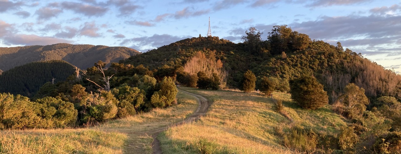
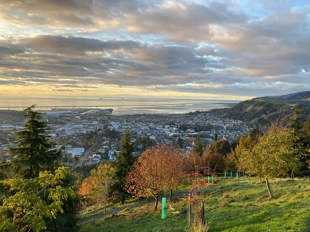
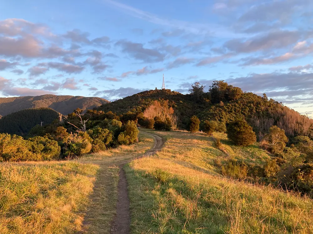
Grampians Walkway is one of the most popular tracks in central Nelson. Beginning at the uphill end of Collingwood St, the walkway climbs the ridge to the TV repeater station at the summit (390 m). It is great as a return trip and it can also be combined with other Grampians Reserve tracks to create a longer circuit. Along the way you’ll enjoy great views of the central city and Tasman Bay.
| Details | |
| Length | 4.8 km Collingwood St to summit return; 5.5 km Collingwood St to summit return via Kānuka Track on return leg |
| Time Required | 1 hr – 1 hr 30 min |
| Trail Type | Walking track |
| Physical Difficulty | Moderate |
| Uses | Walking and trail running |
| Start Elevation | 65 m |
| Max Elevation | 390 m |
Hinau Track
Walking and trail running
Kānuka Track
Walking and trail running
Mahoe Track
Walking and trail running
Mamaku Track
Walking and trail running
Ponga Track
Walking and trail running
Ronaki Track
Walking and trail running
Summit Road
Walking, trail running and MTB
Tawa Track
Walking and trail running
5 min from central Nelson
Grampians Walkway begins at the uphill end of Collingwood St, in central Nelson. The upper section of Collingwood St is steep and narrow, and parking is for residents only. The best places to park are on Collingwood St downhill of Brougham St, or on upper Trafalgar St.
Grampians Walkway is entirely within Grampians Reserve, which is managed by Nelson City Council.

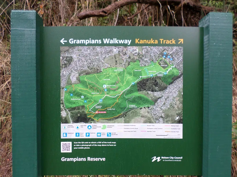
Above Collingwood St, the walkway zig-zags at a steady gradient up the steep hill slope through mature exotic trees. At the top of the ridge, Hinau Track connects on the left (leading to Brook Valley) and after a short flat section the uphill continues through sweeping zig-zags. Along here you will enjoy one of the best vantage points for viewing central Nelson. You’ll reach a four-way intersection with Ponga Track connecting on the left and Ronaki Track on the right.
The walkway then climbs through a small pine plantation before flattening out along a wide grassy corridor, eventually meeting Grampians Summit Road and Kānuka Track (the latter is signposted with a map). While Summit Road veers left, follow the walkway as it takes a direct route up the ridge to Grampians Saddle.
From the saddle, the lookout platform is a short detour to the right, as are the beginnings of Mahoe and Mamaku Tracks. The walkway follows the sealed Summit Road for the final few hundred metres to the transmission tower at the summit (completed in 1970). Trees block most of the view from the tower, so the lookout platform remains the best vantage point.
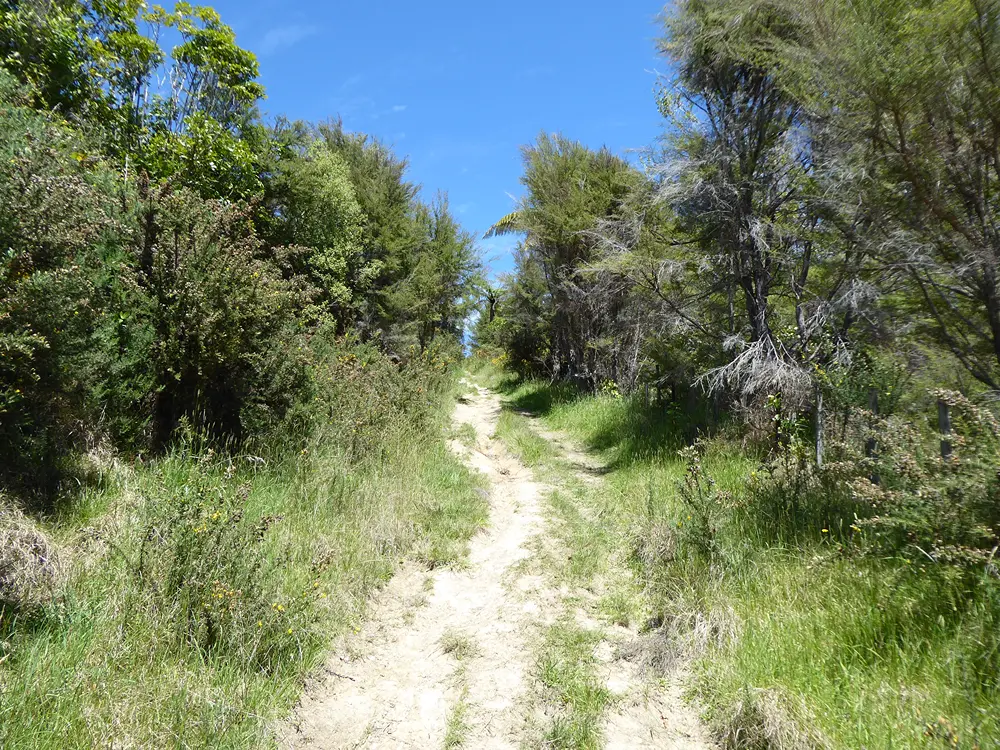
There are multiple options for the return leg depending on how far you want to go (see map for options). Grampians Walkway continues on the other side of the summit, descending down a grassy spur, then turning left and re-entering the bush to connect with Kānuka Track. You can follow the easy-going Kānuka Track left to connect back with Grampians Walkway at the summit ridge, otherwise follow Kānuka Track to the right and connect with Kahikatea Track and Tawa Track.




Hinau Track
Walking and trail running
Kānuka Track
Walking and trail running
Mahoe Track
Walking and trail running
Mamaku Track
Walking and trail running
Ponga Track
Walking and trail running
Ronaki Track
Walking and trail running
Summit Road
Walking, trail running and MTB
Tawa Track
Walking and trail running