Aorere Goldfields Track
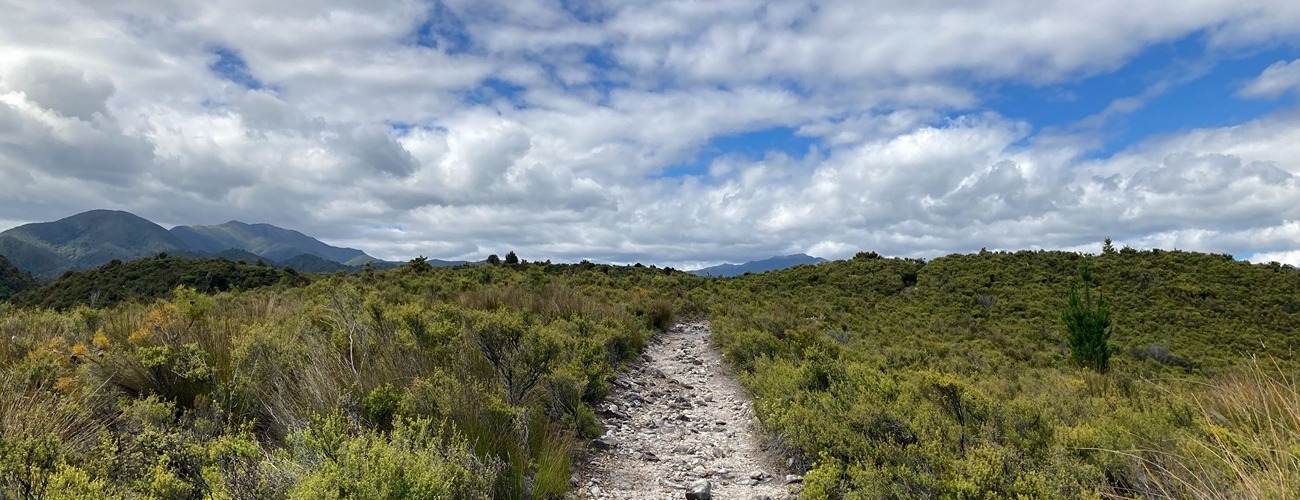
Aorere Goldfields Track, near Collingwood in Golden Bay, explores historic gold workings and a limestone belt featuring caves that can be entered.
| Details | |
| Length | 7.8 km |
| Time Required | 2-4 hr |
| Trail Type | Shared track |
| Uses | Walking, trail running and MTB |
| Physical Difficulty | Moderate |
| Technical Difficulty | Intermediate |
| Direction | Either |
| Start Elevation | 50 m |
| Max Elevation | 290 m |
Aorere Goldfields Track does not connect to any other official tracks.
10 min from Collingwood
At Collingwood, turn left onto Collingwood-Bainham Main Rd and head up the Aorere Valley for 8 km. At Rockville, head straight along Devils Boots Rd. Continue past Devils Boots for 2 km. There is a gate 400 m before the car park, after which the road is best suited to 4WD vehicles.
From the car park, a rough 4WD track leads past the site of an old ground-sluicing operation dating back to the 1880s, and continues out onto the broad, open expanse of Druggan’s Flat, partly covered in pakihi wetland vegetation. The discovery of gold in 1856 led to the Aorere Valley becoming New Zealand’s first official goldfield.
Beyond the flat, the route begins to rise steadily. Partway up, a side track branches off toward the untouched forest of Stanton’s Creek. The main track follows sections of the historic miners’ benched trail. At the first junction, keep straight ahead. On your right you’ll see the remains of an old water race and a tunnel, and just beyond this is a short side track to Stafford’s Cave. Both Stafford’s Cave and Ballroom Cave (the latter reached by another short side track a little further along) can be entered if you have a torch and appropriate clothing. Ballroom Cave is said to have once hosted dances.
From the caves, it’s a further 1.4 km to the dam. On clear days, this stretch offers excellent views across the Aorere Valley to the Wakamarama and Burnett Ranges, Ruataniwha Inlet, and north toward Farewell Spit. Just before the dam you’ll come to the outlet tunnel cut through solid rock with an iron gate. Follow the track along the left-hand side of the water, past the race intake controls on top of Druggan’s Dam. The dam was built in 1873 to supply water to the sluicing operations. It was bought by George Druggan in 1876 and enlarged for his Slate River Sluicing Company.
The trail then climbs around the reservoir edge. After about 20 minutes you’ll reach another junction. From here, a short walk leads to a 4WD/mountain bike track. Turn right and follow it downhill to return to the car park. Alternatively, at the junction you can take the short connector track back to the first junction and retrace the initial section of the walk to return to the start.


Sources and further reading
1. Johnston, M. R. (2023). Aorere Gold: The History of the Golden Bay Goldfields, New Zealand, 1856-1863.
Aorere Goldfields Track does not connect to any other official tracks.