Grampians Summit Road
Grampians Reserve
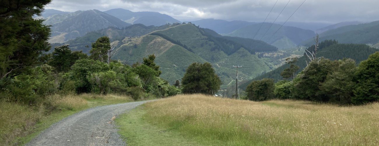
Grampians Summit Road is a gravel service road leading to the transmission tower at the highest point on The Grampians (390 m).
| Details | |
| Length | 2.7 km (one way) |
| Trail Type | Gravel road |
| Physical Difficulty | Moderate |
| Technical Difficulty | Easy |
| Uses | Walking, trail running and MTB |
| Start Elevation | 45 m |
| Max Elevation | 390 m |
Grampians Walkway
Walking and trail running
Kānuka Track
Walking and trail running
Kawakawa Track
Walking and trail running
Mahoe Track
Walking and trail running
5 min from central Nelson
Grampians Summit Road begins on Robinson Road in Brook Valley. You will see a gate with a Nelson City Council sign reading ‘Grampians Reserve’.
The road heads up the valley and crosses a cattle stop. After 1 km the road makes a hairpin turn, where Kānuka Track continues straight up the valley to Couch Saddle. Summit Road continues uphill through native bush for another 1.4 km, steeply in a couple of sections, and reaches the ridge (at 270 m), where it connects with Grampians Walkway. It then turns left and climbs to Grampians Saddle (where Tawa, Mahoe and Mamaku tracks begin) and crosses another cattle stop. It is then a final 300 m climb to the transmission tower at the summit (390 m).
As with all other tracks on The Grampians, Summit Road can be combined with other tracks to create a longer, more varied route. A good option is to take Kānuka Track on the return leg back to Brook Valley.

