Mt Evans
Abel Tasman National Park
Mt Evans (1156 m) is the highest point in Abel Tasman National Park. An unmaintained but marked route climbs to the summit from Moa Park, allowing experienced walkers to reach one of the park’s more remote and seldom-visited high points.
| Details | |
| Distances | 16.3 km circuit from Canaan Downs car park |
| Time Required | 5-7 hr from Canaan Downs car park |
| Trail Type | Farm track/Tramping track/Unmaintained route |
| Physical Difficulty | Moderate |
| Uses | Walking |
| Start Elevation | 750 m (Canaan Downs) |
| Max Elevation | 1156 m |
1 hr 30 min from Nelson (Canaan Downs)
From Nelson, follow State Highway 60 to the top of Tākaka Hill. Turn right onto Canaan Rd, which is just past the Ngarua Cave turnoff. Canaan Rd is unsealed, winding and narrow, so drive with caution. It is 11 km from the turnoff to Canaan Downs car park, which is situated at 750 m elevation.
Moa Park Track begins as a farm track, steadily climbing along the forest edge above the farmland of Canaan Downs. After 3 km you will reach Wainui Saddle, where Wainui Track descends north towards Wainui Hut. Moa Park Track continues into the bush and climbs up the western side of Evans Ridge. Once at the top, the surrounding bush becomes predominantly dracophyllum, the roots of which make the track quite rugged. The track dips in and out of two creek gullies, then reaches a junction with the Inland Track. From the junction, Moa Park Track doubles as the Inland Track, and it is a short descent to Moa Park.
Just before you reach the edge of the tussock basin, a DOC signpost marks the turnoff for Mt Evans Route. Instead of continuing straight into Moa Park, turn right and follow Mt Evans Route, which re-enters the forest and begins climbing Evans Ridge. This track was once a maintained DOC track, but it has not been maintained for several decades. Old orange tin markers guide a fairly obvious route through the mainly silver beech forest, which also features mountain cedar.
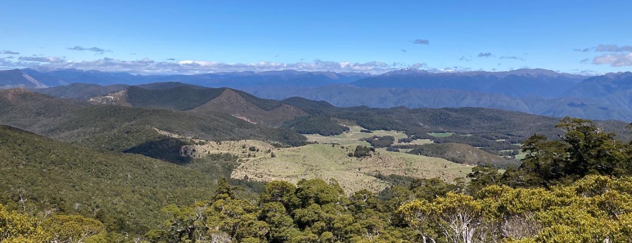
The summit is 2.4 km (about 45 min) from Moa Park. At the summit, a granite rock outcrop rises just above the tree canopy. Climb onto it for views across Canaan Downs and the Kahurangi Mountains, and down over Evans Range towards the Tasman Bay hinterland.
From from the summit, the route continues south along the ridge and over Pt 1090, before descending to the west towards a saddle. This is the hardest section of the route, where the thicker undergrowth makes the path forward less obvious. After another brief climb, the route emerges onto open farmland to connect with Canaan Loop Track. Follow the well-marked Canaan Loop Track to the left to return to Canaan Downs car park.


