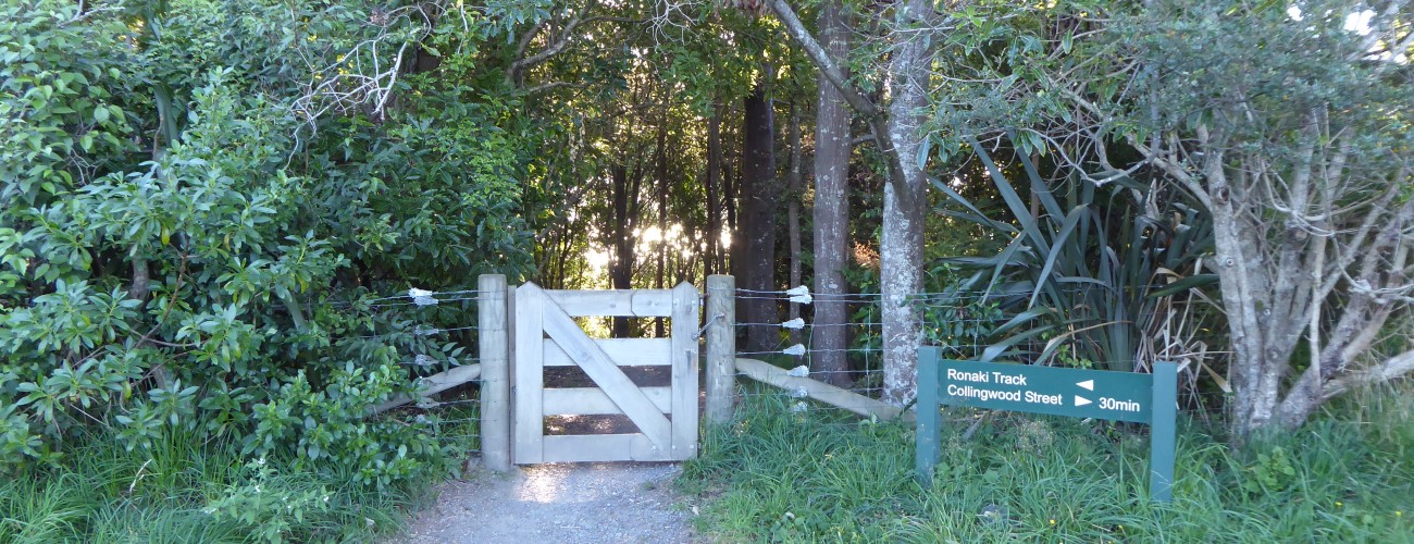
Ronaki Track
Grampians Reserve
Ronaki Track zig-zags through native plantings up the western slope of The Grampians to connect with Grampians Walkway. Combine Ronaki Track with Tawa Track and Grampians Walkway to create a 1-2 hr loop.
| Details | |
| Length | 1 km |
| Time Required | Allow at least 1 hr to create a circuit with other Grampians tracks |
| Trail Type | Walking track |
| Physical Difficulty | Moderate |
| Uses | Walking and trail running |
| Start Elevation | 70 m |
| Finish Elevation | 220 m |
Grampians Walkway
Walking and trail running
Ponga Track
Walking and trail running
Tawa Track
Walking and trail running
5 min from central Nelson
Ronaki Track begins on Ronaki Tce at 70 m elevation. The beginning of the track can be quite tricky to find. As Ronaki Tce and nearby streets are quite narrow, parking is limited.
Ronaki Track intersects Tawa Track after only 150 m. Ronaki and Tawa Tracks share the same route for another couple of hundred metres before Ronaki Track forks left and heads uphill. The track zig-zags up through a block of regenerating native bush for 550 m to the ridge (220 m elevation), where it connects to Grampians Walkway.
You can follow Grampians Walkway to the summit and then take Tawa Track back to where you started on Ronaki Tce (this will take approx. 1 hr). Otherwise, Ponga Track descends into Brook Valley immediately opposite where Ronaki Track ends.