Nelson Trails on Instagram

Welcome
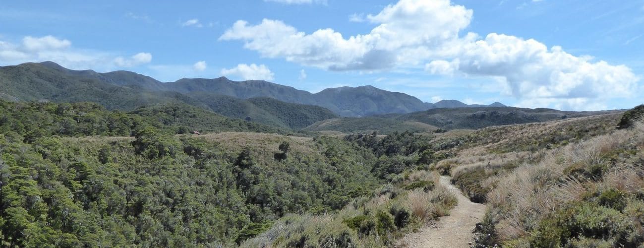
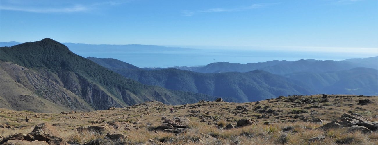
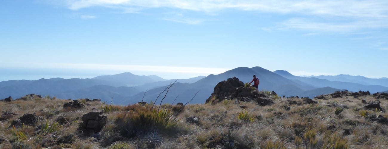
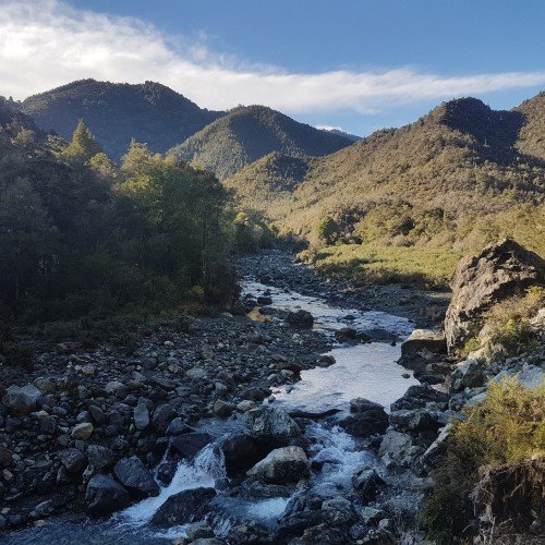
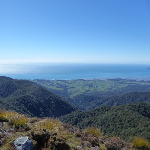
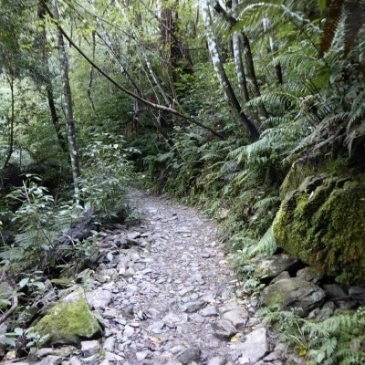
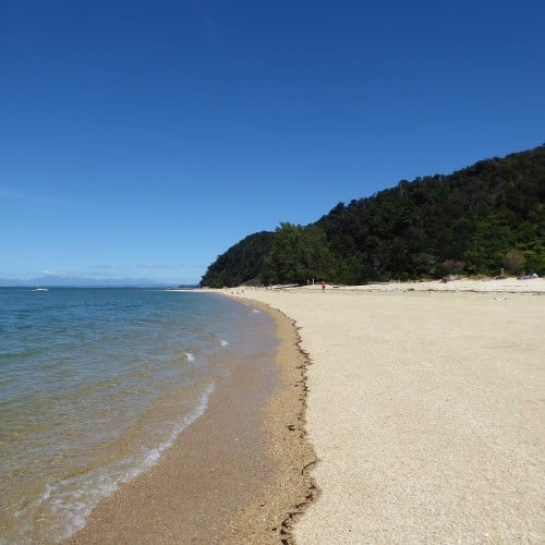
Nelson Trails provides maps and descriptions of tracks and trails around the Nelson and Tasman regions of New Zealand.

Search for trails
Nelson Trails
Nelson Trails provides maps and descriptions of tracks and trails around the Nelson and Tasman regions of New Zealand.
Search for trails
Nelson Trails